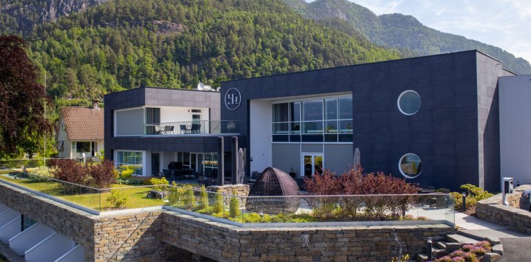
Dronningstien Traverse (1,140 m) – Queen’s Ridge Walk Above Sørfjorden
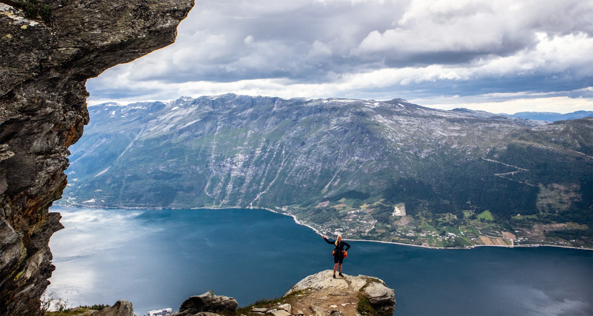
Dronningstien is a classic Hardanger traverse with huge fjord views, airy viewpoints, and a long descent into the village of Lofthus.
-
Getting there
Approx. 2h 25m drive from Bergen (157 km) -
Parking
Near the Esso petrol station in Kinsarvik, you will find a junction signposted “Dronningstien”. Follow the paved road to Røte, where paid parking is available in both an upper and a lower car park.A shuttle bus can be booked from Lofthus back to your car at Røte or in Kinsarvik. -
Description
The most common route starts at Rote, crosses the mountain ridge, and finishes in Lofthus.
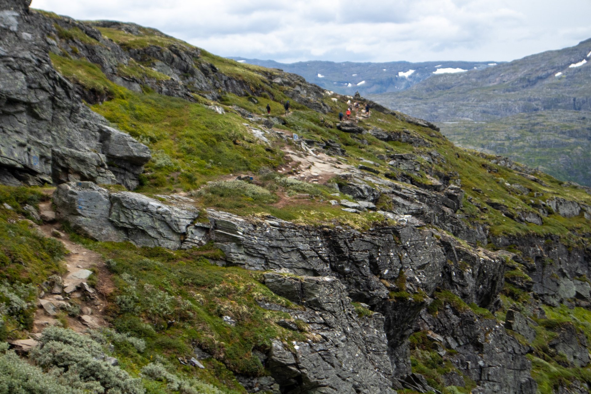
From the lower car park at Rote, you can either follow the road to the upper car park or take the signposted shortcut through the forest. The climb begins on a gravel road that zigzags up the hillside. At around 750 metres above sea level, it becomes a proper mountain trail.
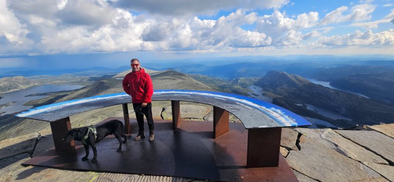
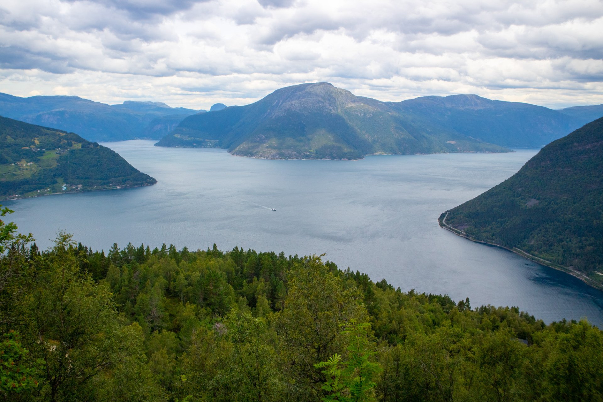
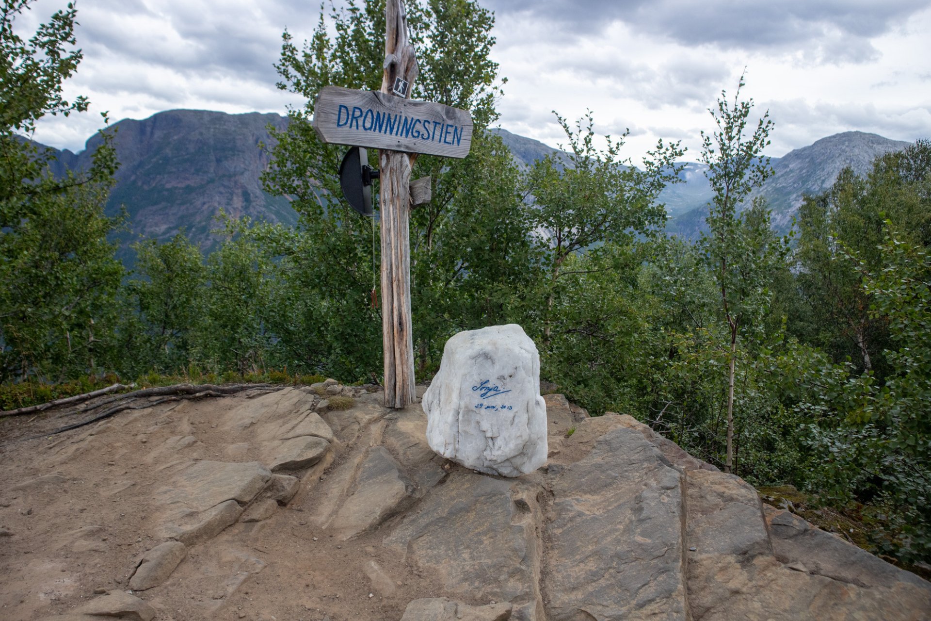
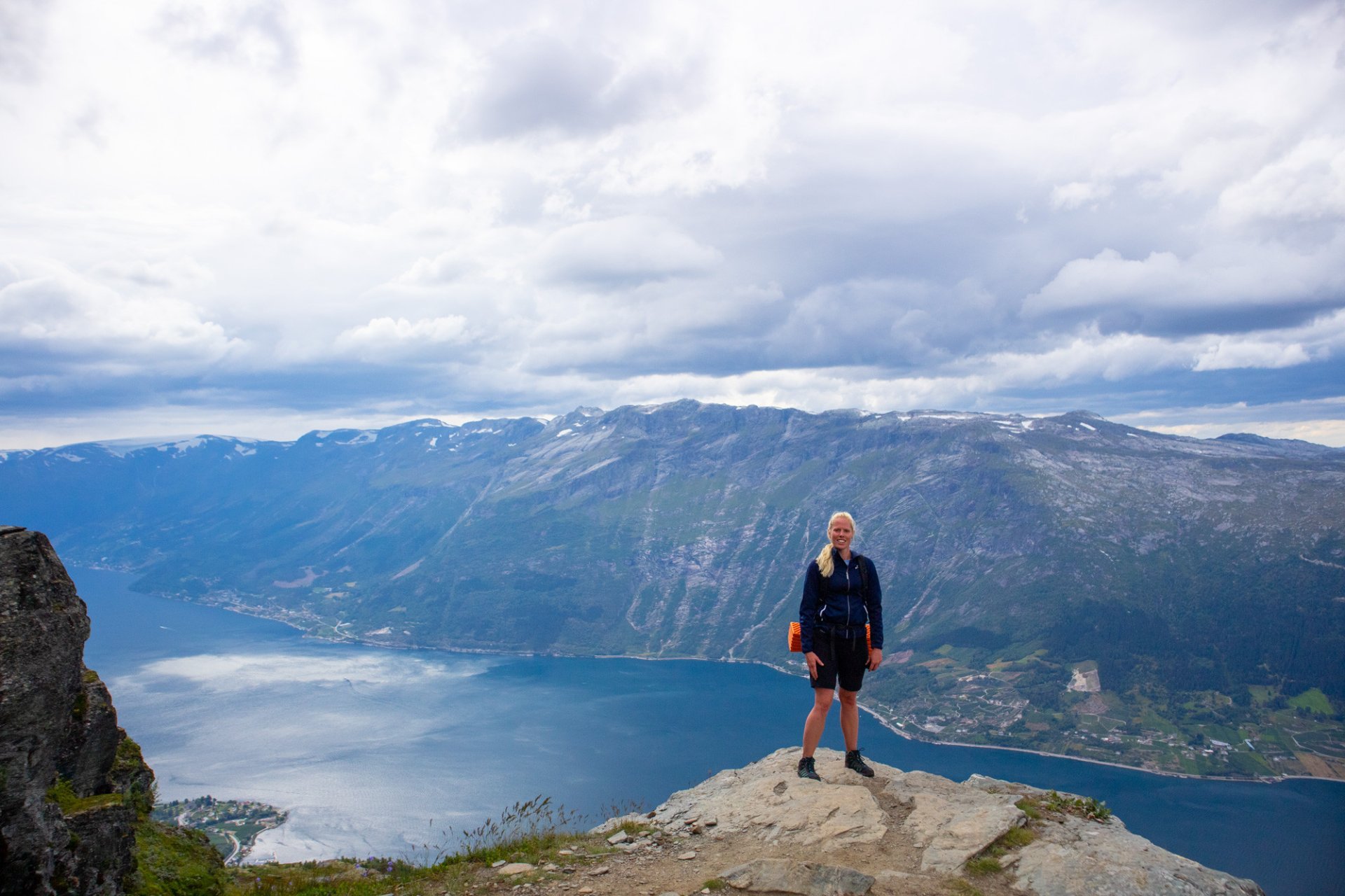
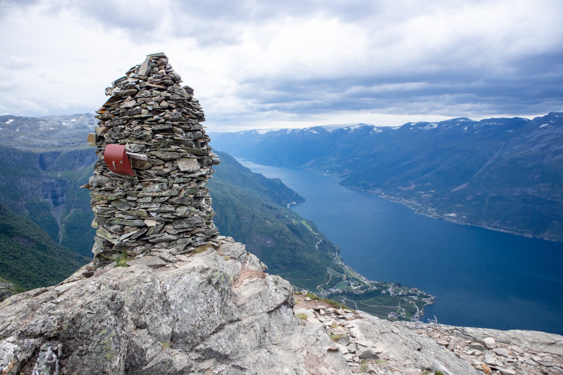
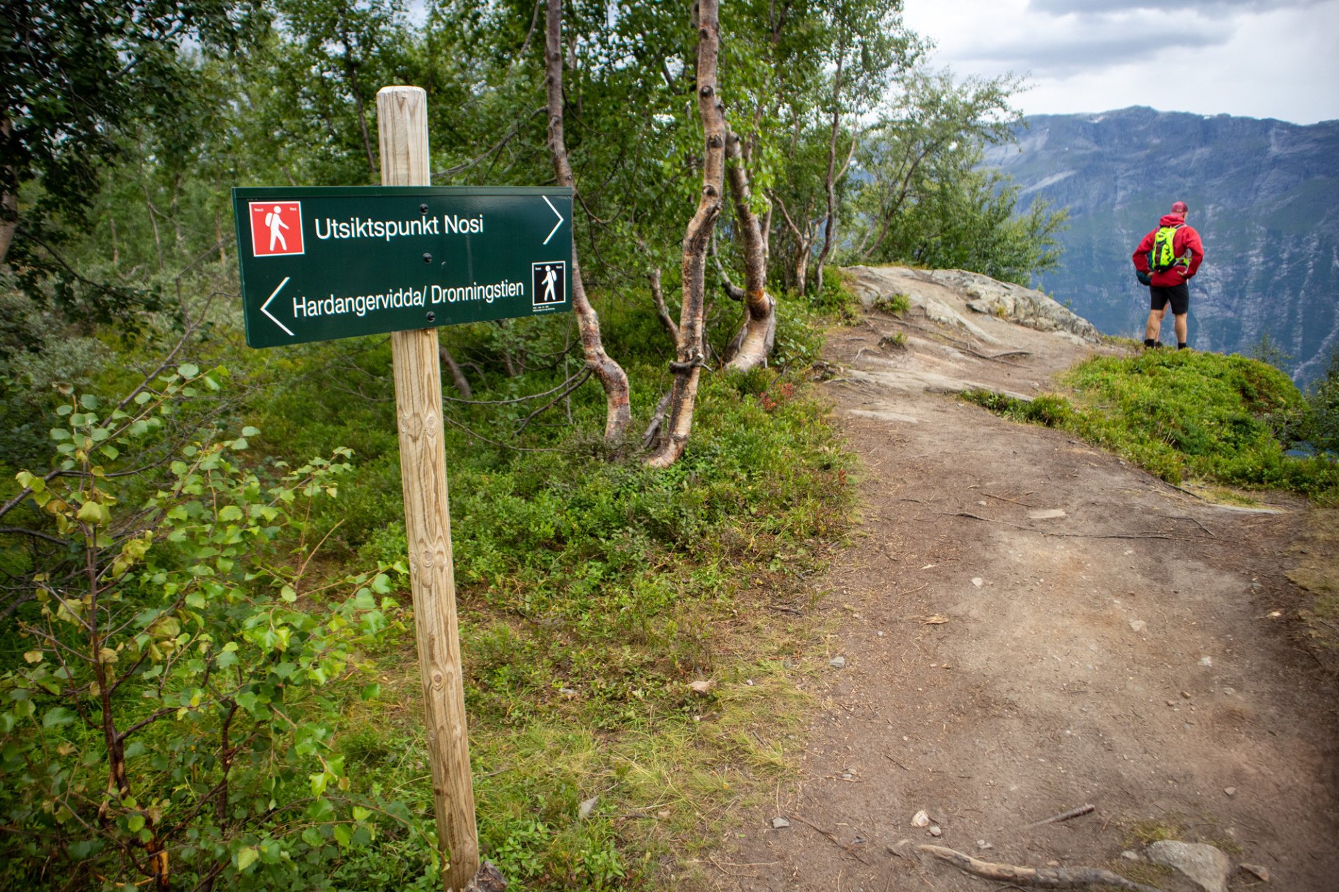
From here, the route follows Dronningstien southwards, roughly parallel to Sorfjorden, with spectacular views for most of the hike. Along the ridge, you will pass several dramatic viewpoints. You can also visit the cairn at Duk, 1,105 metres above sea level, and take a short detour to Nosi, 905 metres above sea level, before beginning the main descent to Lofthus.
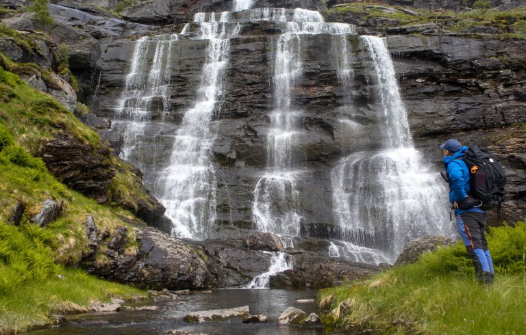
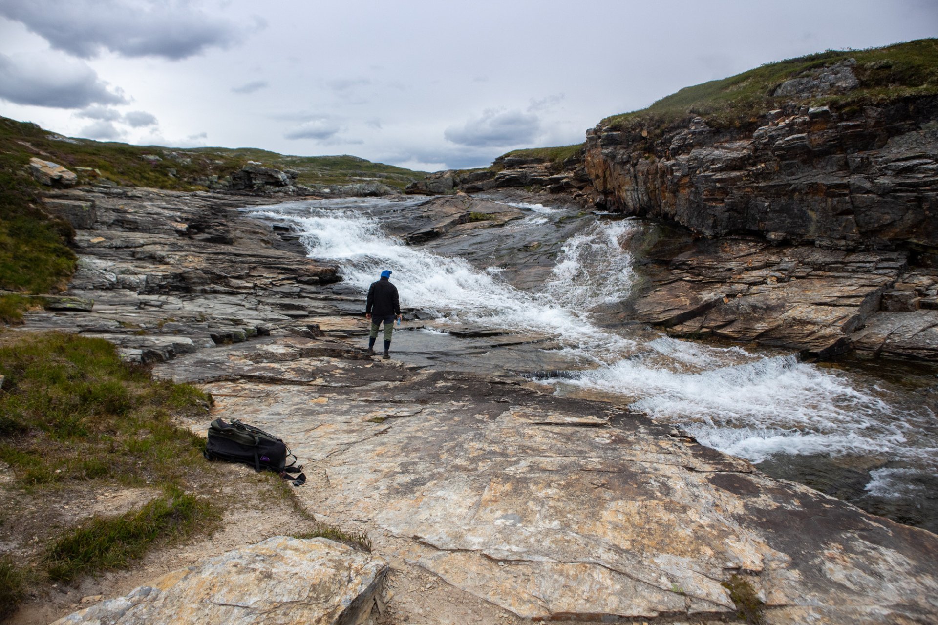
Near Rjukande, the trail turns sharply northwest and leads to Munketrappene, a series of stone steps built by local monks in the 13th century. The final section descends to Lofthus along a mountain trail and tractor road. Forest paths can be used as shortcuts on the way down. Trekking poles are highly recommended for the descent.


Processing elevation data...
-
Adventure type
Mountain Hikes -
Location
Ullensvang, Vestland -
Country
Norway -
Starting Location
-
Route File (GPX)
-
Information
Start: Røte (lower parking) → finish in Lofthus (point-to-point)
Distance: ~16 km (one-way traverse)
Highest point: ~1,140 m
Elevation gain: ~1,200 m
Time: ~6 hours (typical pace with breaks)
Difficulty: Challenging
Season: Summer and autumn
Gear tip: High hiking boots recommended; poles help on the descent.