Gullruta in the Etne Mountains – Stage 3: Sandvasshytta to Blomstølen

This is the third stage of the beautiful signature route, “Gullruta through the Etne Mountains,” and also the shortest daily stage, covering approximately 5.1 km.
-
Getting there
-
Parking
-
Description
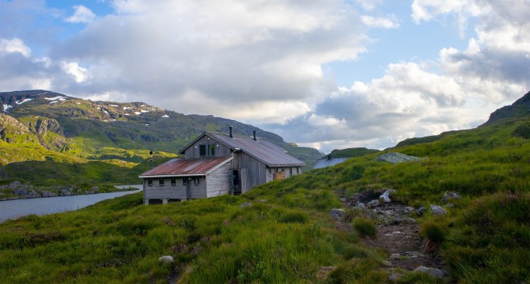
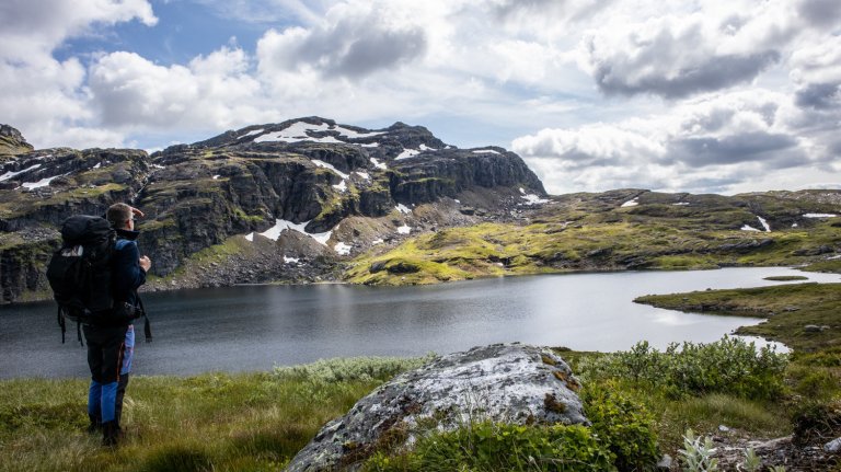
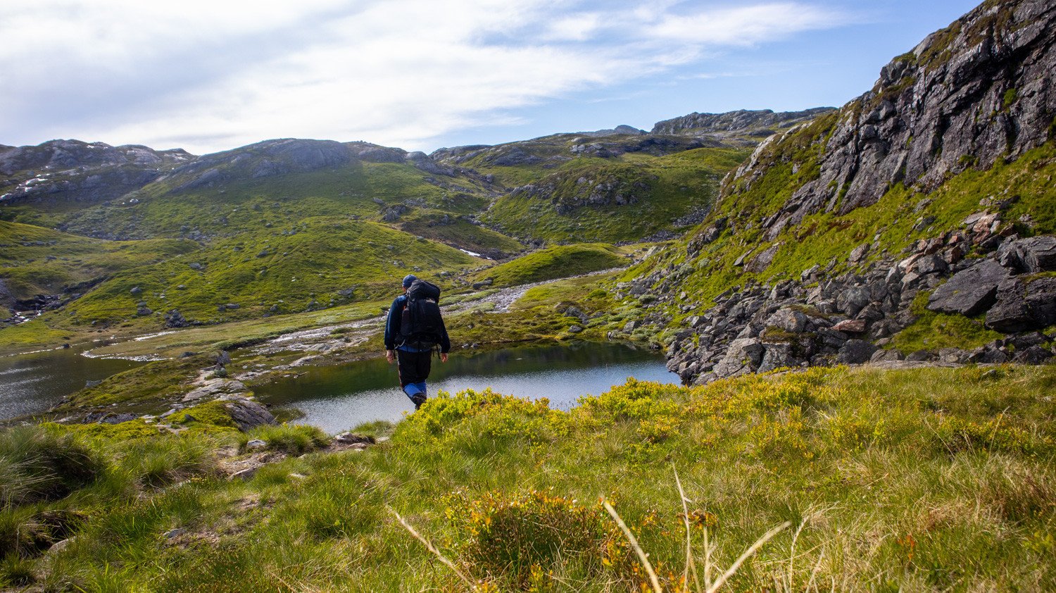
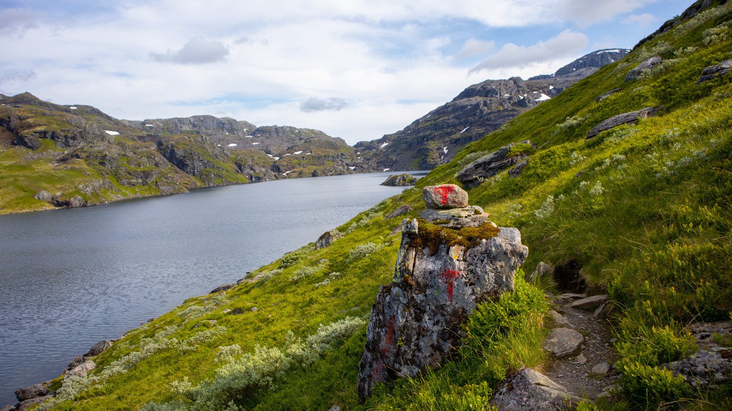
From Sandvasshytta, follow the T-marked trail westwards. At the first trail junction, turn left towards Blomstølen and continue along Lake Sandvatnet. The trail follows the shoreline for a while before turning right and climbing uphill. Once you reach the top of the ascent, the landscape opens up with beautiful views westwards down into the valley, and you can see Blomstølen in the distance.
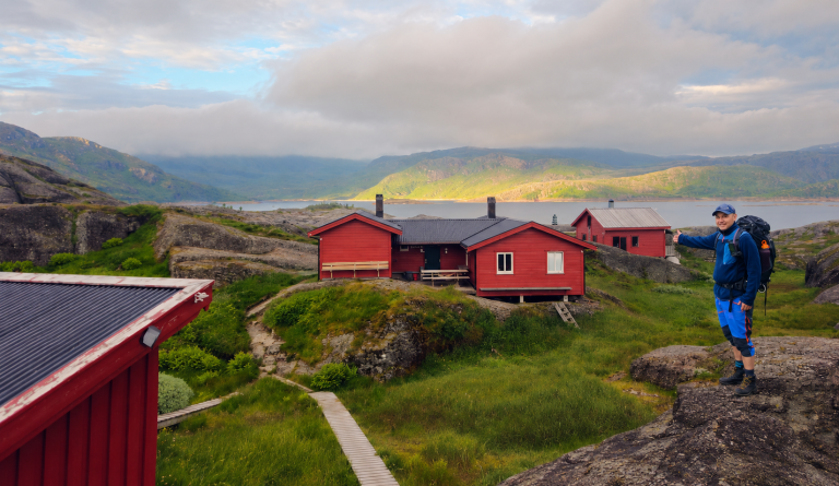
From here, the trail descends steeply into the valley and continues along the northern side of Lake Plomvatnet. Another climb then takes you over the ridge before descending towards Tvittjørnene. The hike continues southwest on the T-marked trail along Lake Svartavatnet and then follows the river down towards Lake Blomstølvatnet, where the DNT cabin is located.
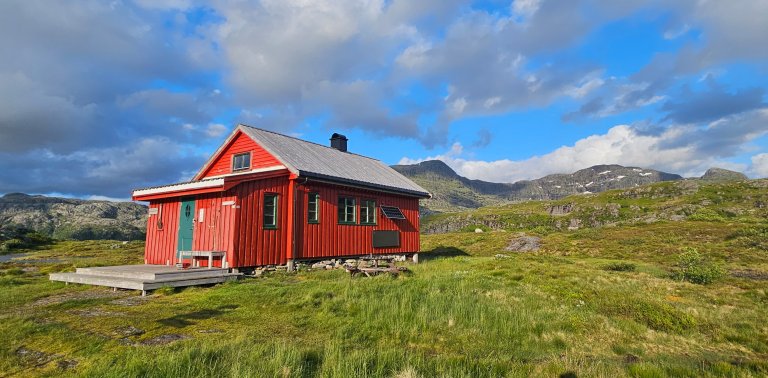
Blomstølen is a large DNT mountain cabin with 48 beds and its own food supplies.
All stages of Gullruta in the Etne Mountains
Gullruta runs from Seljestad to Olalia and is divided into six daily stages:
- Seljestad to Simlebu
- Simlebu to Sandvasshytta
- Sandvasshytta to Blomstølen
- Blomstølen to Storavassbu
- Storavassbu to Løkjelsvatnhytta
- Løkjelsvatnhytta to Olalia Fjellstove
Also read the complete travel article: Gullruta in the Etne Mountains – Six Days from Seljestad to Olalia



Processing elevation data...
-
Adventure type
Mountain Hikes -
Location
Vestland, Etne -
Country
Norway -
Starting Location
Display start point on Google Maps
-
Route File (GPX)
-
Information
Distance: Approx. 5.1 km
Duration: Approx. 2–3 hours
Elevation gain: 115 metres
Season: July–October
Difficulty: Moderate