This is the sixth stage of the spectacular “Gullruta through the Etne Mountains” signature hiking route.
-
Getting there
-
Parking
-
Description
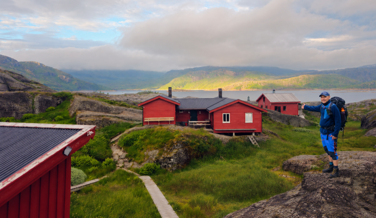
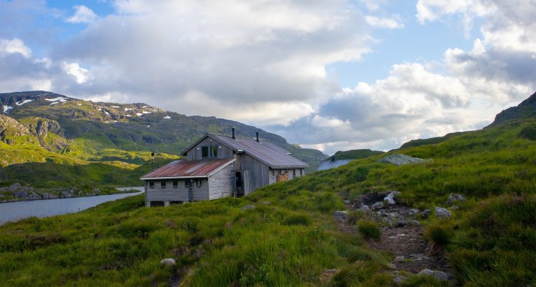
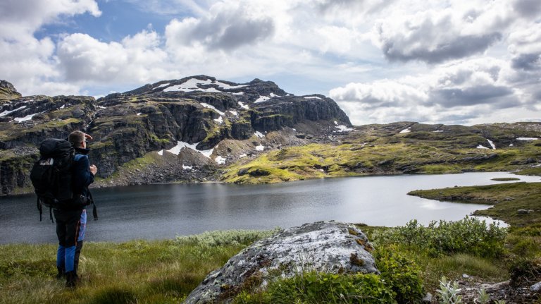
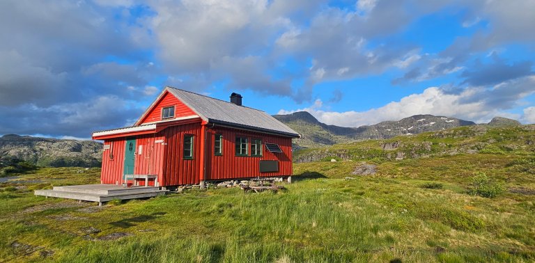
This stage of Gullruta is approximately 17.5 kilometres long, running from Løkjelsvatnhytta to Olalia Fjellstove. The hike begins in relatively easy mountain terrain and continues via Grindheimsvatnet and Krokavatnet before following a longer service road towards Ilsvatnet. From there, a noticeable ascent leads towards Høylandsvatnet, followed by marshy sections and gentler terrain. Towards the end of the hike, the landscape becomes greener, and the trail descends through mountain birch forest to Olalia.
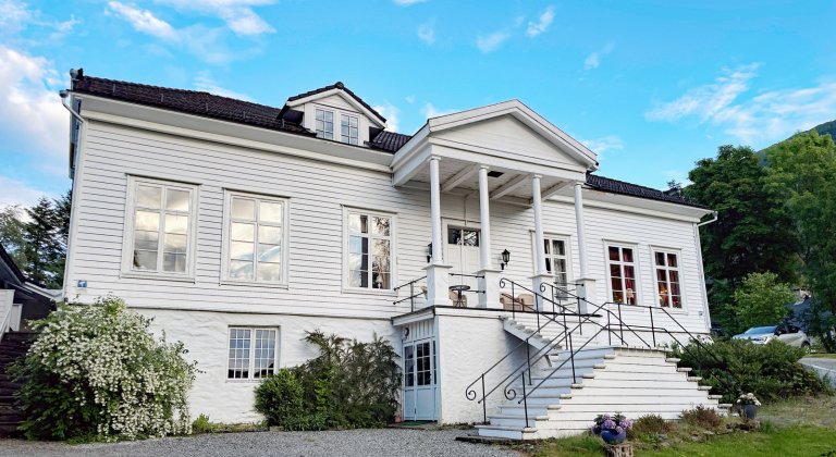
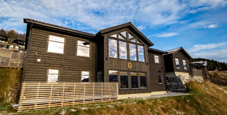
Olalia is a self-service DNT mountain cabin with food supplies and a total of 79 beds. The cabin complex consists of three buildings: Olalia Fjellstove, the emergency cabin and Olabu. Olalia Fjellstove is usually closed, but offers food service and accommodation during selected periods in the summer, autumn and winter seasons. The emergency cabin and Olabu are available to visitors throughout the year.
All stages of Gullruta in the Etne Mountains
Gullruta runs from Seljestad to Olalia and is divided into six daily stages:
- Seljestad to Simlebu
- Simlebu to Sandvasshytta
- Sandvasshytta to Blomstølen
- Blomstølen to Storavassbu
- Storavassbu to Løkjelsvatnhytta
- Løkjelsvatnhytta to Olalia Fjellstove
Also read the complete travel article: Gullruta in the Etne Mountains – Six Days from Seljestad to Olalia.

-
Adventure type
Mountain Hikes -
Location
Vindafjord, Rogaland -
Country
Norway -
Starting Location
Display start point on Google Maps
-
Information
Distance: Approx. 17.6 km
Duration: Approx. 6–7 hours
Elevation gain: Approx. 477 metres
Season: July–October
Difficulty: Moderate