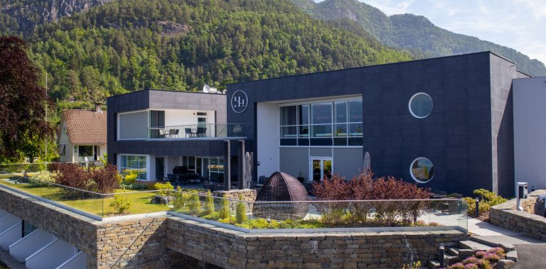
Gaustatoppen Summit Hike (1,883 m) – Big Views Above Rjukan
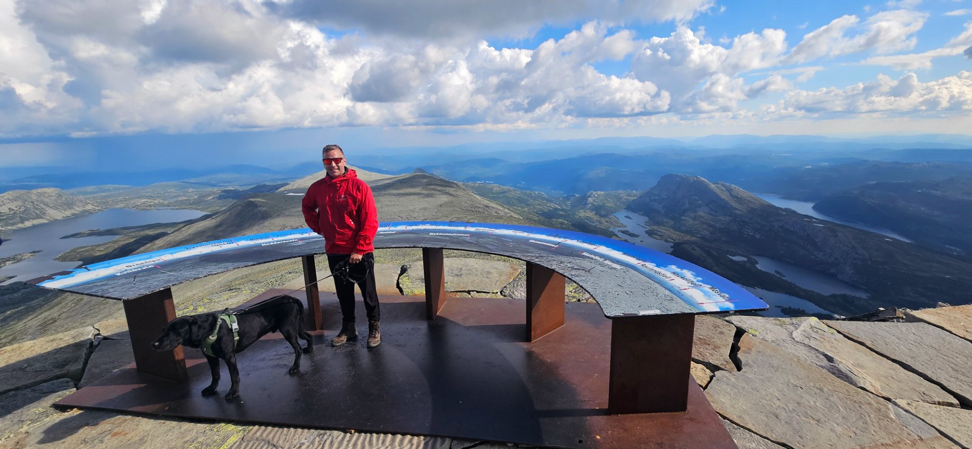
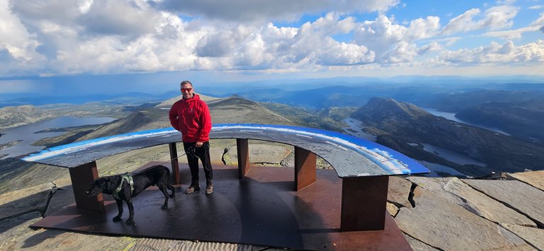
Gaustatoppen is one of Southern Norway’s most rewarding “short-and-steep” summit hikes, and on clear-weather days you can see roughly one-fifth of Norway from the summit.
-
Getting there
Approx. 2 hours 30 minutes (165 km) by car from Oslo. -
Parking
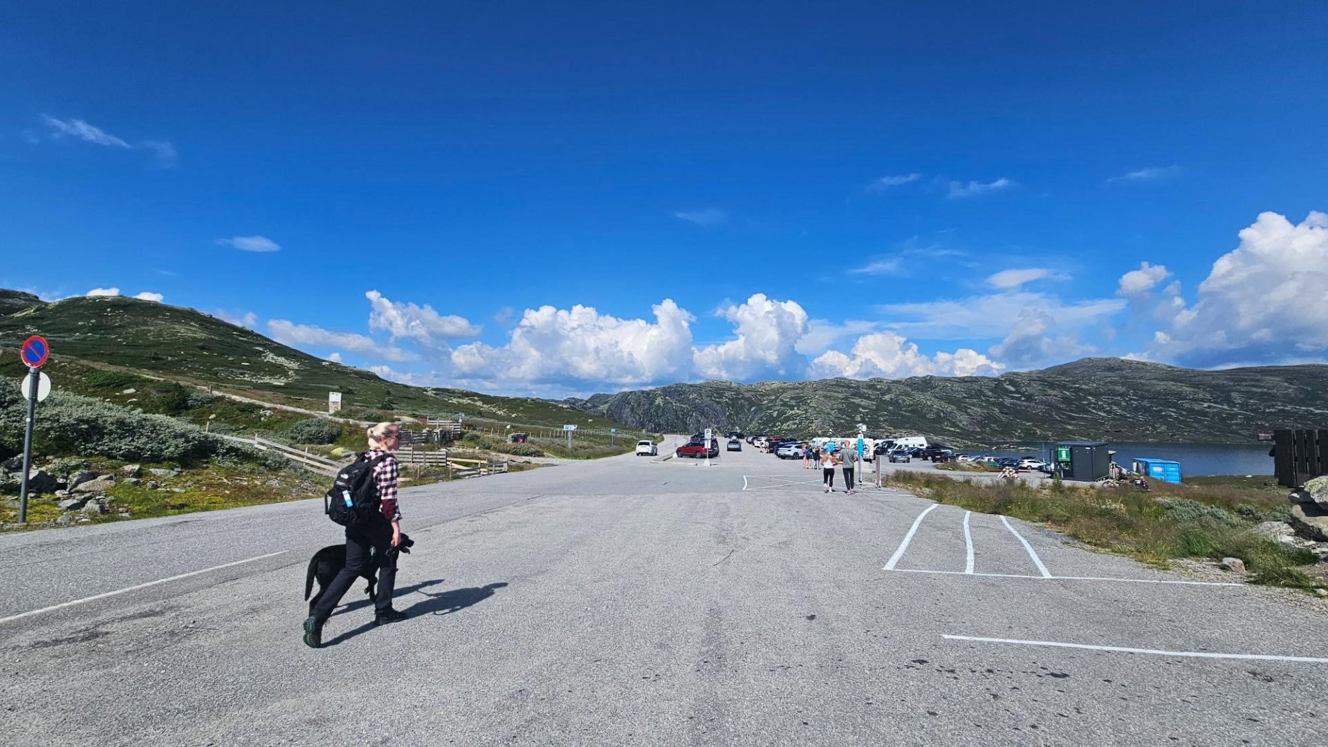
Stavsro is the main starting point for the hike to Gaustatoppen, with paid parking available at the trailhead. -
Description
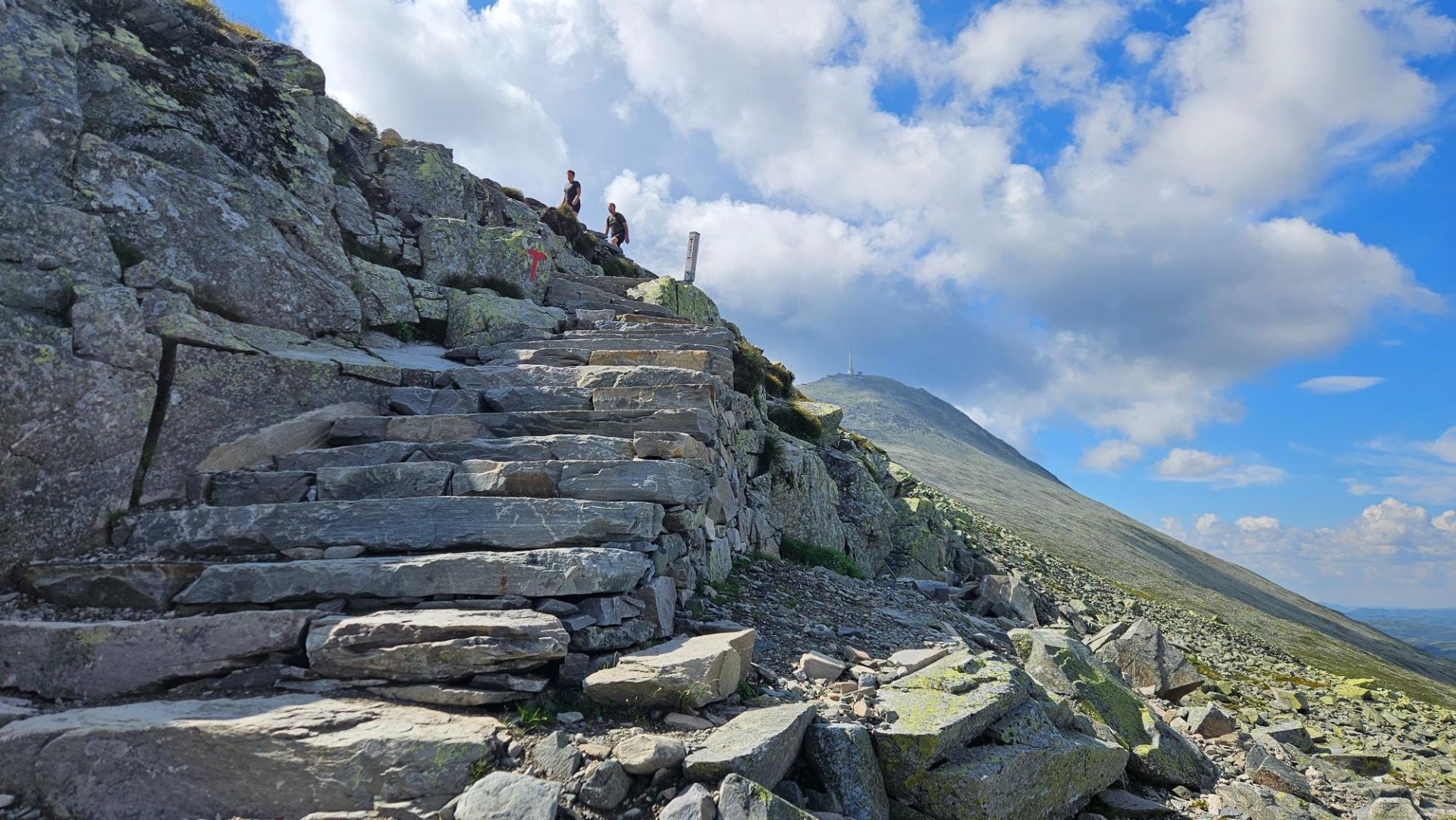
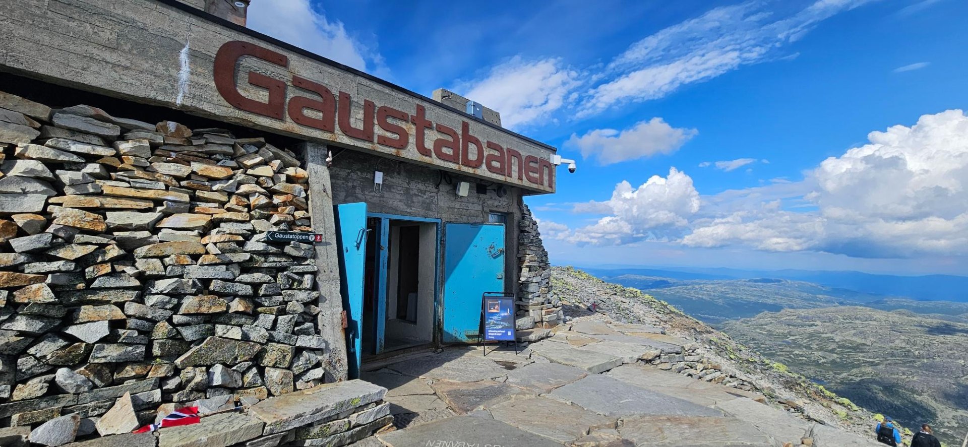
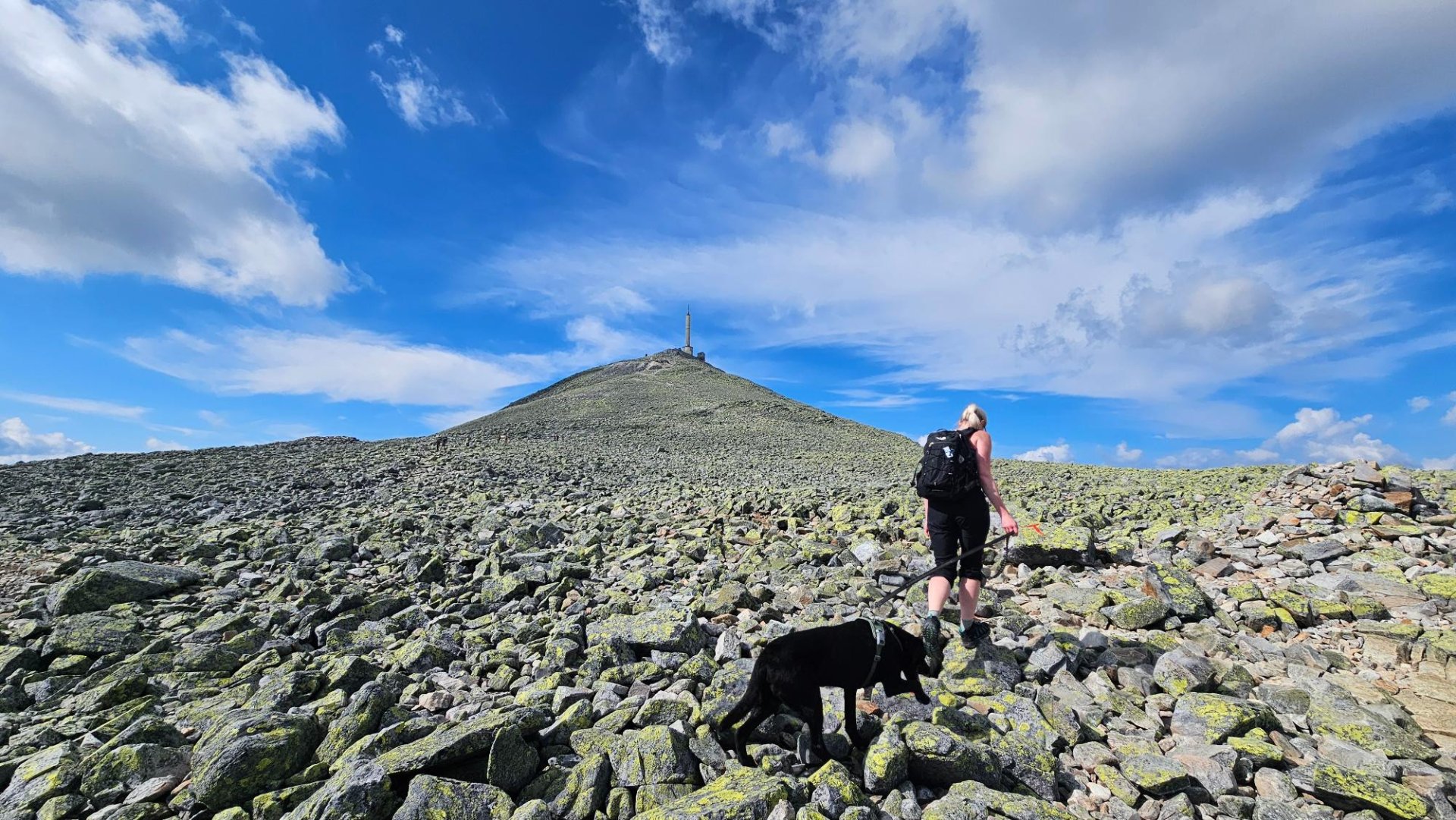
Start your Gaustatoppen hike from the Stavsro parking area (about 1,173 m) on the road between Rjukan and Tuddal. The trail climbs steadily through open mountain terrain with wide views toward the Rjukan area. Expect a mostly rocky path that becomes rougher in the upper section, but the route is well-marked all the way. At the top you can visit the Gaustatoppen cabin for a break, and if you want an easier way down, the Gaustabanen mountain railway is an optional alternative.

Processing elevation data...
-
Adventure type
Mountain Hikes -
Location
Tinn, Telemark -
Country
Norway -
Starting Location
-
Route File (GPX)
-
Information
Start: Stavsro (trailhead by the road between Rjukan and Tuddal)
Distance: ~10 km round trip (total)
Elevation gain: ~650–710 m
Time: ~4–6 hours round trip (typical pace with breaks)
Difficulty: Challenging (rocky footing most of the way)
Season: Typically late spring to early autumn (expect snow patches early/late