The Gullruta Trail in the Etne Mountains – Stage 1: Seljestad to Simlebu

This is the first stage of the spectacular Signature Trail “The Golden Route through the Etne Mountains.”
-
Getting there
Approx. 3 hrs 15 mins (160 km) by car from Bergen to Korlevoll Ski Stadium. -
Parking
This is a point-to-point hike from A to B. Park your car at Korlevoll Ski Stadium. When you reach the finish at Oppheim, take public transport back to Korlevoll.Alternatively, you can park at Oppheim and take public transport to Korlevoll Ski Stadium, where the hike begins.Please note: Parking fees apply at both Korlevoll Ski Stadium and Oppheim. -
Description
On this hike, I took a scheduled bus from Bergen to Seljestad Weigh Station, which is the final stop on the route. From here, you can continue by Norway Express bus to Korlevoll Ski Stadium. As it is only around five kilometres to walk, I chose to continue on foot. The route follows a combination of pavement and the main road.
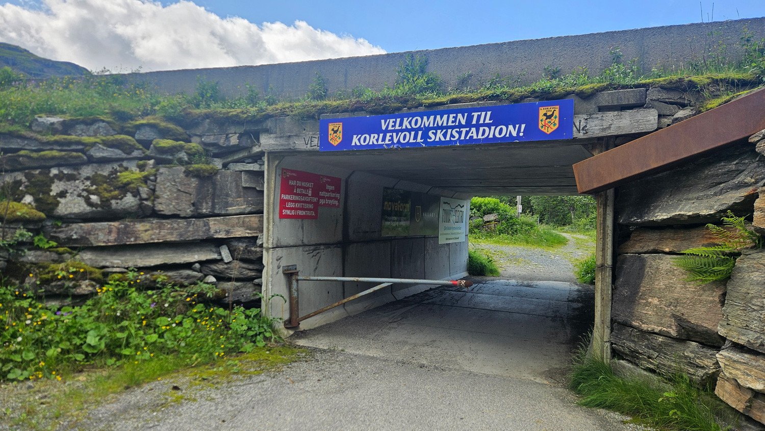
From the car park at Korlevoll Ski Stadium, walk through the tunnel beneath the main road and then cross the bridge. From here, follow the T-marked forest and service road westwards. During winter, this road is used as a groomed cross-country ski trail. The surface is generally good, and wooden boardwalks have been installed in some sections.
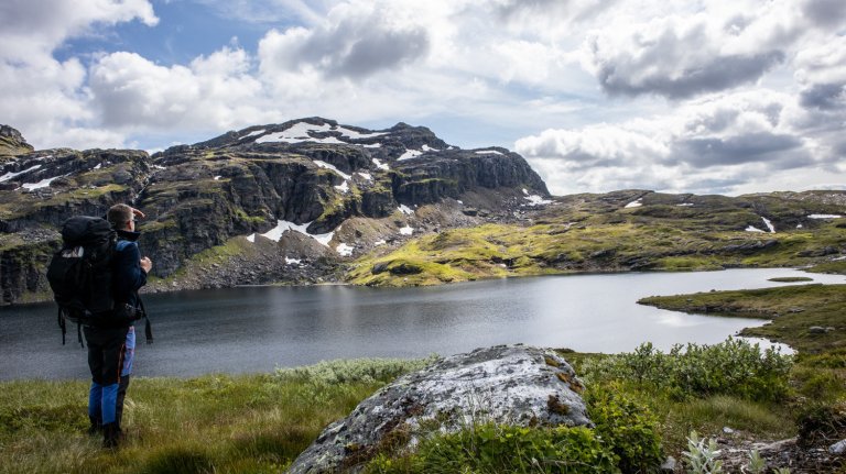
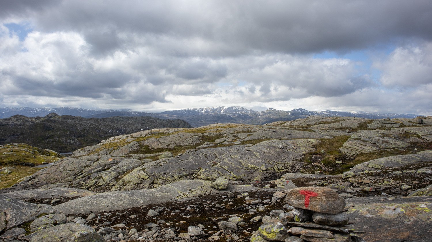
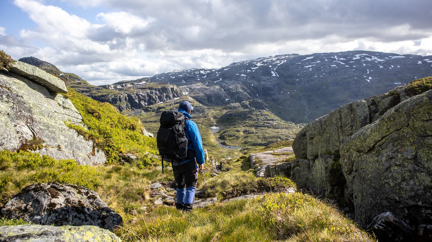
Continue uphill along the road and above the treeline. It winds through the mountain landscape and continues all the way to Lake Steinavatnet. The T-marked trail then continues westwards along the northern side of the lake before turning north and then southwest deeper into the Etne Mountains.
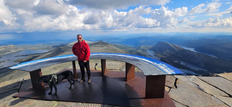
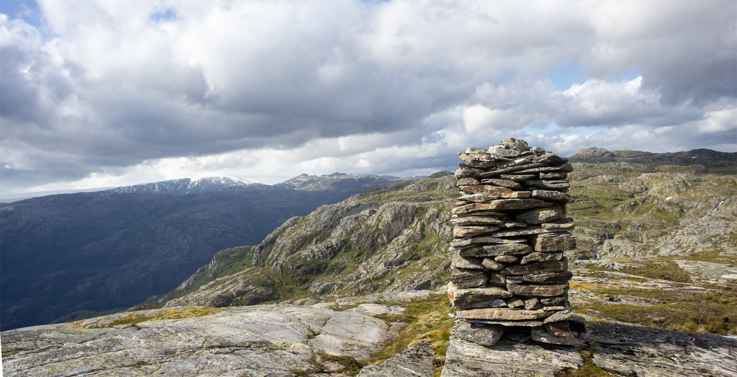
Once you cross the mountain ridge, you are rewarded with excellent views towards the Folgefonna glacier. Follow the T-marked trail along Lake Sandbotnavatnet and continue uphill to the cairn west of Borddalsnuten. From here, there are impressive views across the surrounding mountain landscape. Continue a little further along the ridge and Simlebu comes into view. Even though the cabin is now visible, there is still a fair distance left to walk.
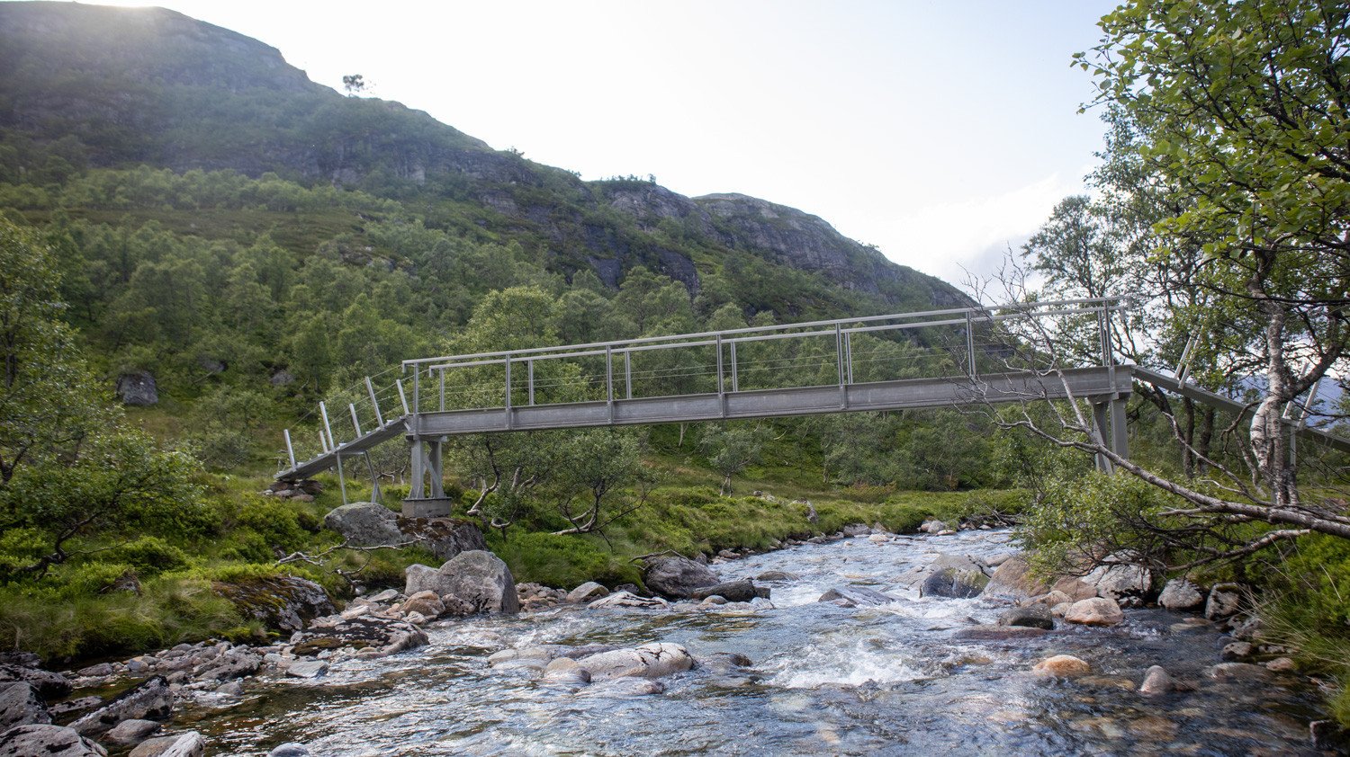
From the higher ground, follow the T-marked trail down through the mountain pass and alongside the stream towards Såtekvelven. The trail then turns west and descends steeply towards Bordalen and the Bordalselva river, which is crossed by bridge. The landscape now changes from open mountain terrain to woodland.
Follow the trail north until you once again emerge into open terrain. From here, approximately 200 metres of elevation gain remain before reaching Simlebu.
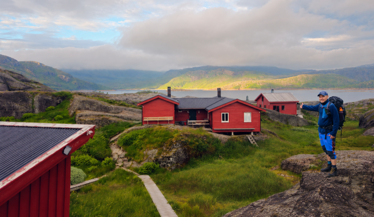
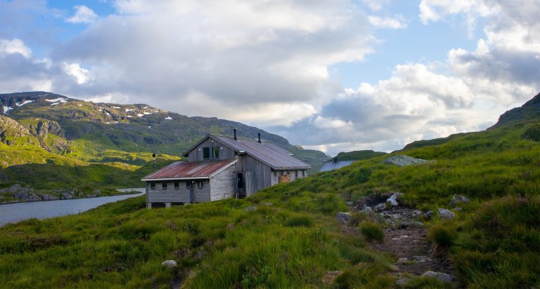
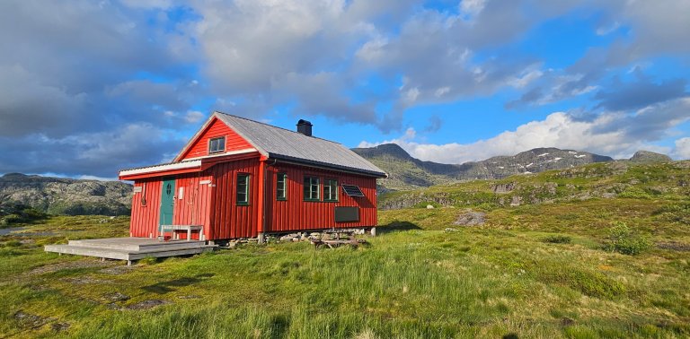
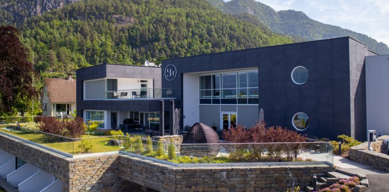
Simlebu is the smallest of the cabins along the Golden Route. It consists of a main cabin and an emergency cabin, with a total of 36 beds and its own food supply store.
All Stages of the Golden Route through the Etne Mountains
The Golden Route runs from Seljestad to Olalia and is divided into six daily stages:
- Seljestad to Simlebu
- Simlebu to Sandvasshytta
- Sandvasshytta to Blomstølen
- Blomstølen to Storavassbu
- Storavassbu to Løkjelsvatnhytta
- Løkjelsvatnhytta to Olalia Fjellstove
Also read the complete travel article: The Golden Route through the Etne Mountains – Six Days from Seljestad to Olalia







Processing elevation data...
-
Adventure type
Mountain Hikes -
Location
Ullensvang, Vestland -
Country
Norway -
Starting Location
-
Route File (GPX)
-
Information
Distance: Approx. 17.5 km from Korlevoll Ski Stadium
(+5 km if you start from Seljestad Weigh Station)
Duration: Approx. 6–7 hours
Elevation gain: Approx. 1,184 metres
Season: July–October