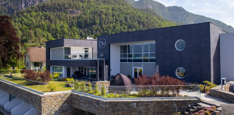
Gullruta in the Etne Mountains – Stage 4: Blomstølen to Storavassbu
This is the fourth stage of the beautiful signature route, “Gullruta through the Etne Mountains.”
-
Getting there
-
Parking
-
Description
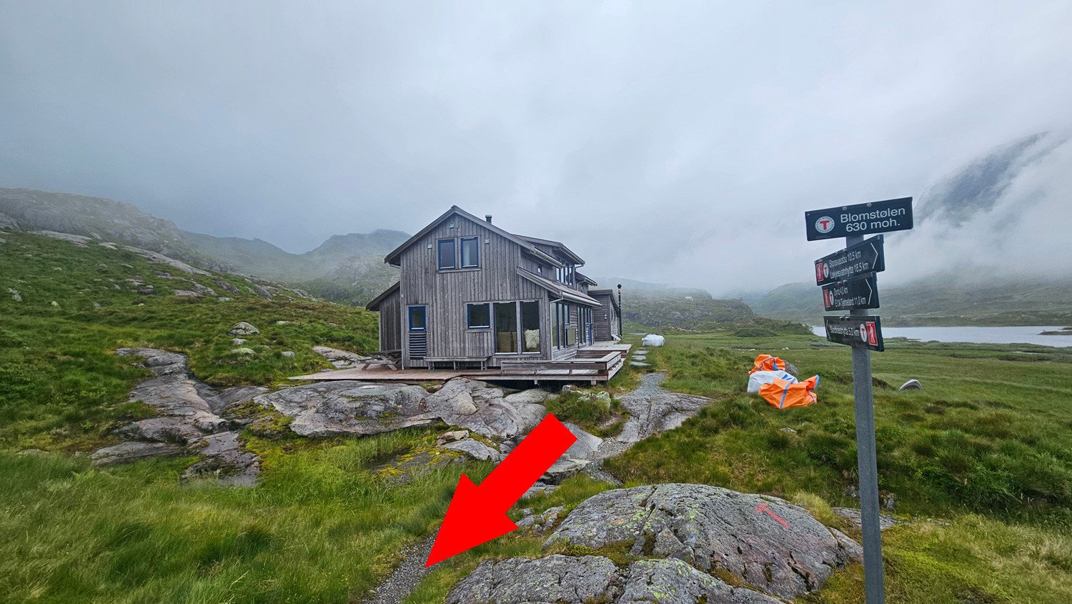
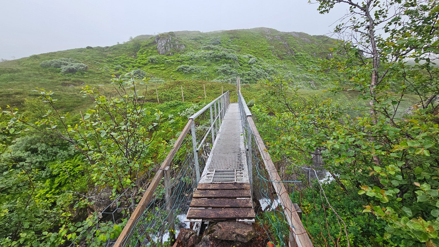
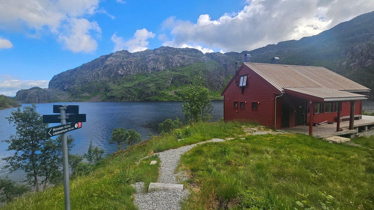
This stage is challenging and includes a mountain crossing at nearly 1,000 metres above sea level. From Blomstølen, follow the T-marked trail south along Lake Blomstølvatnet. At the end of the lake, cross the river via a bridge. The trail continues along the water before climbing through a small mountain pass and onwards towards Røssedalen.
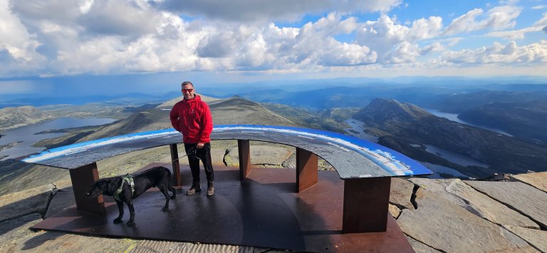
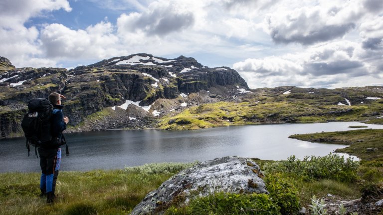
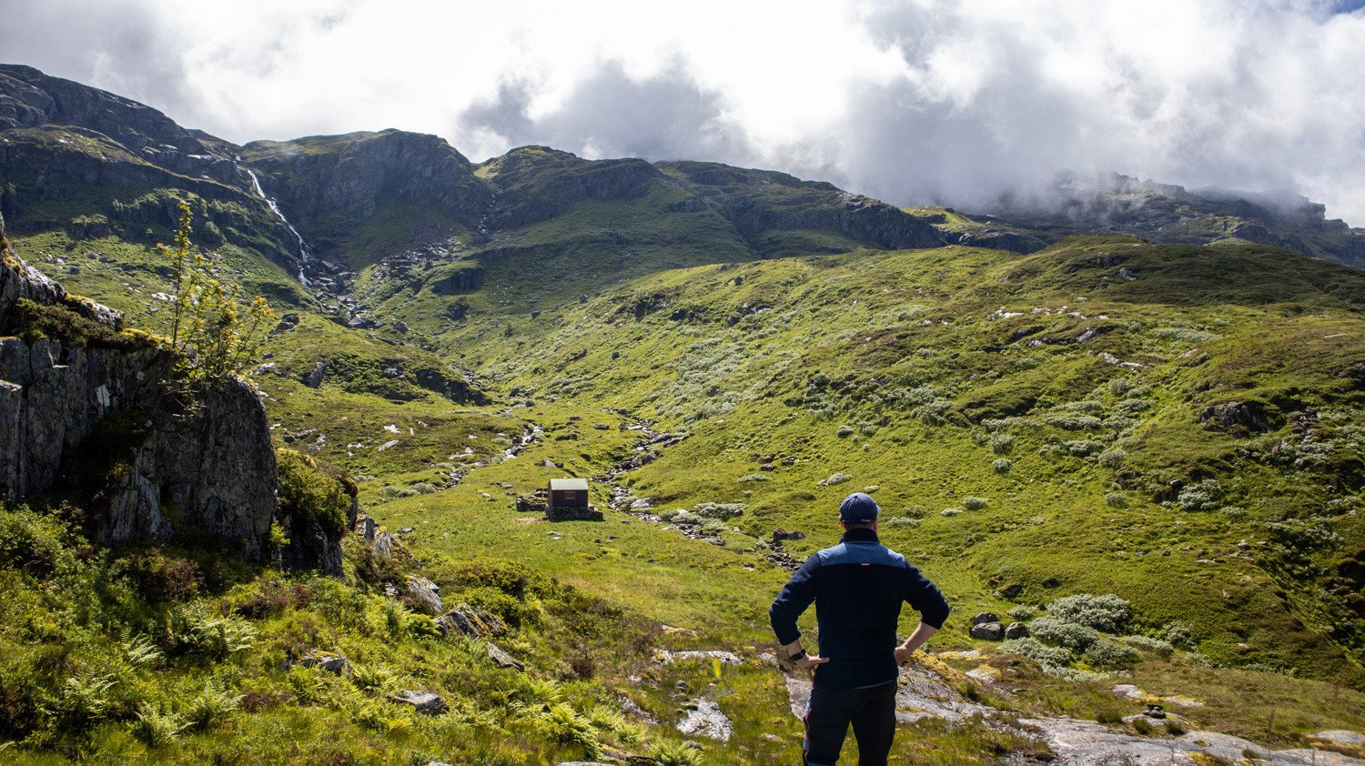
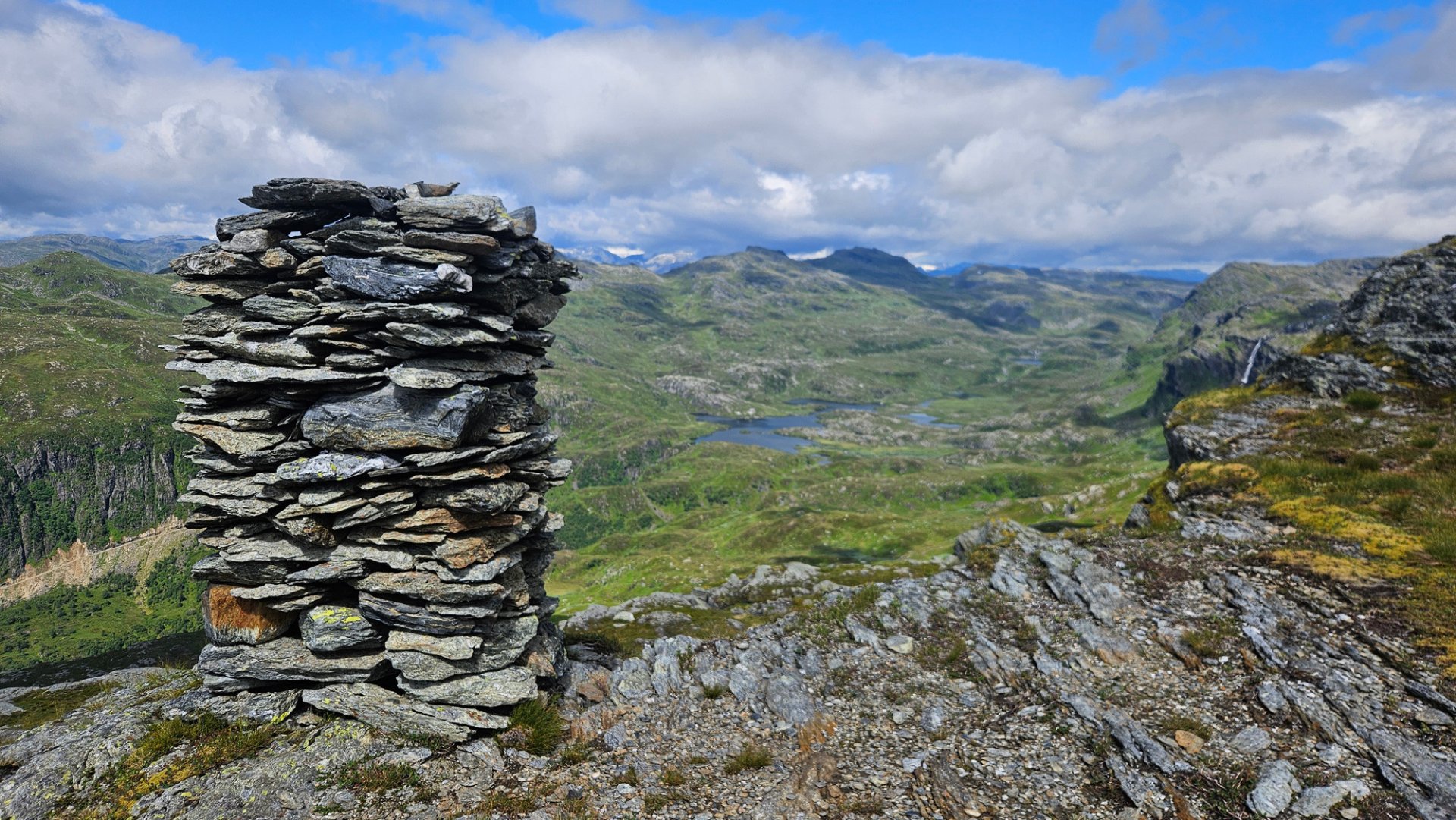
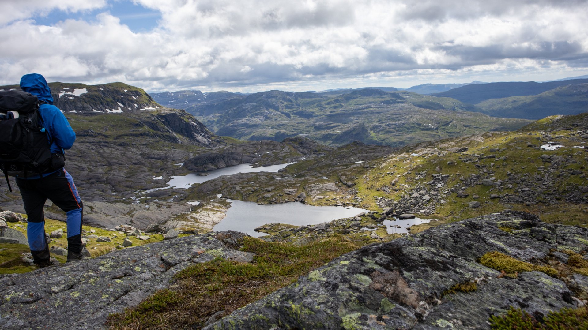
This is where the ascent into the high mountains begins. Follow the T-marked trail southwards. The climb is mostly gradual, although there are a few steeper sections. At around 980 metres above sea level, you reach a cairn. This is a great viewpoint with impressive views back towards Blomstølen.
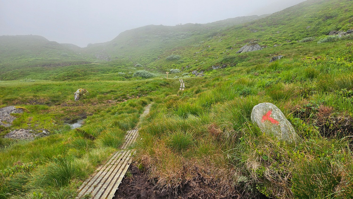
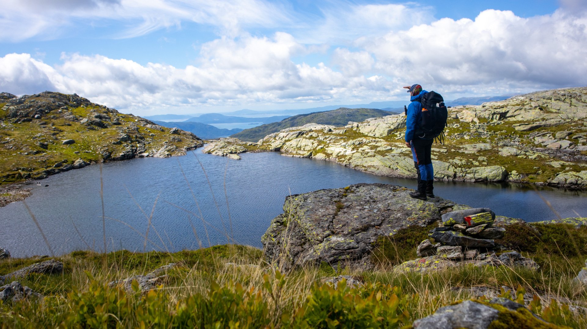
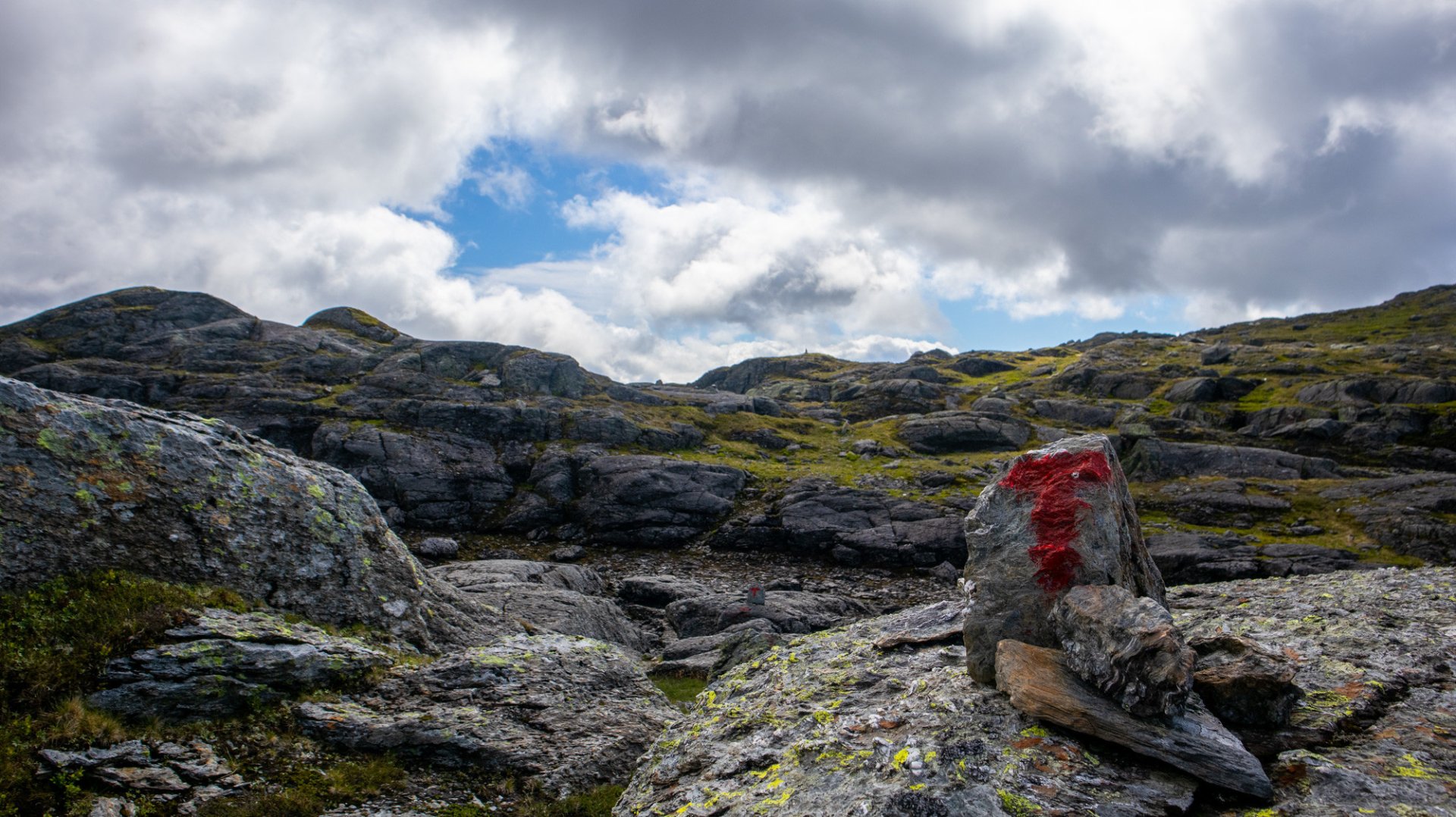
From here, the route continues through gently rolling, open mountain terrain. The entire section is well marked with red T symbols painted on rocks, and the trail passes several small mountain lakes.
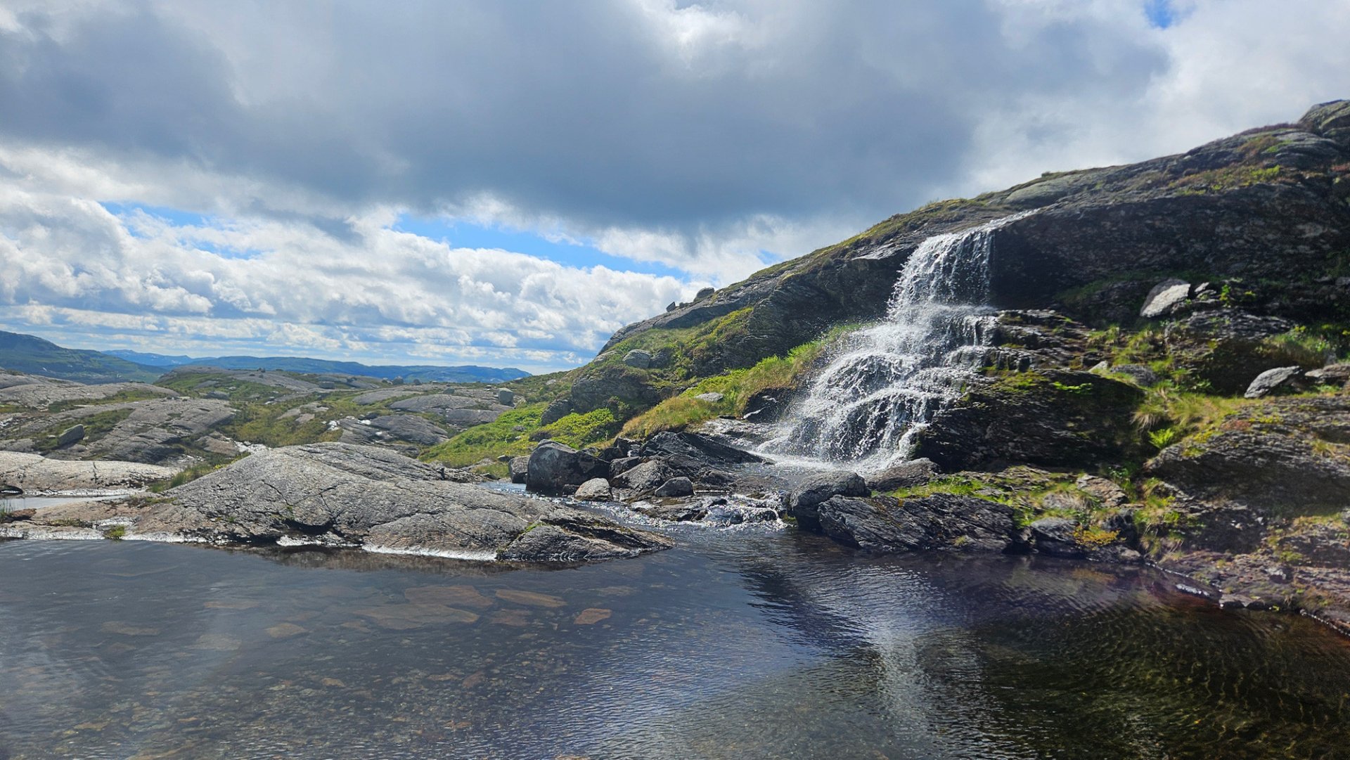
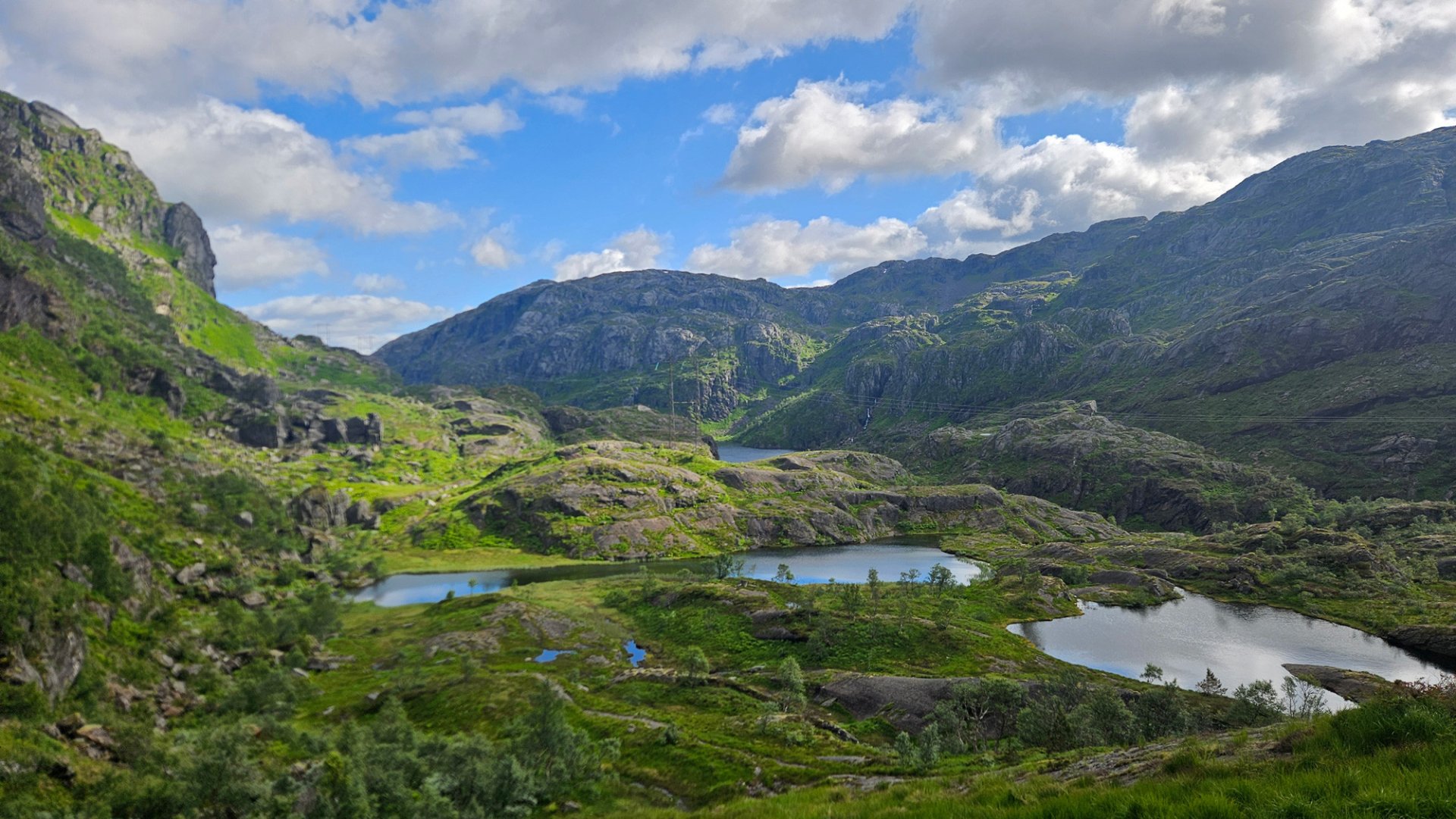
As you round the mountain ridge, the descent towards the distinctive Ingebjørgsvatna area begins. Here, numerous small waterfalls and streams wind their way between a series of small mountain lakes. The T-marked trail guides you smoothly through this network of waterways, although in some places you will need to cross streams by stepping or jumping from rock to rock.
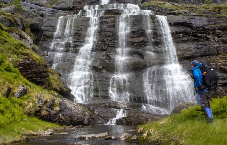
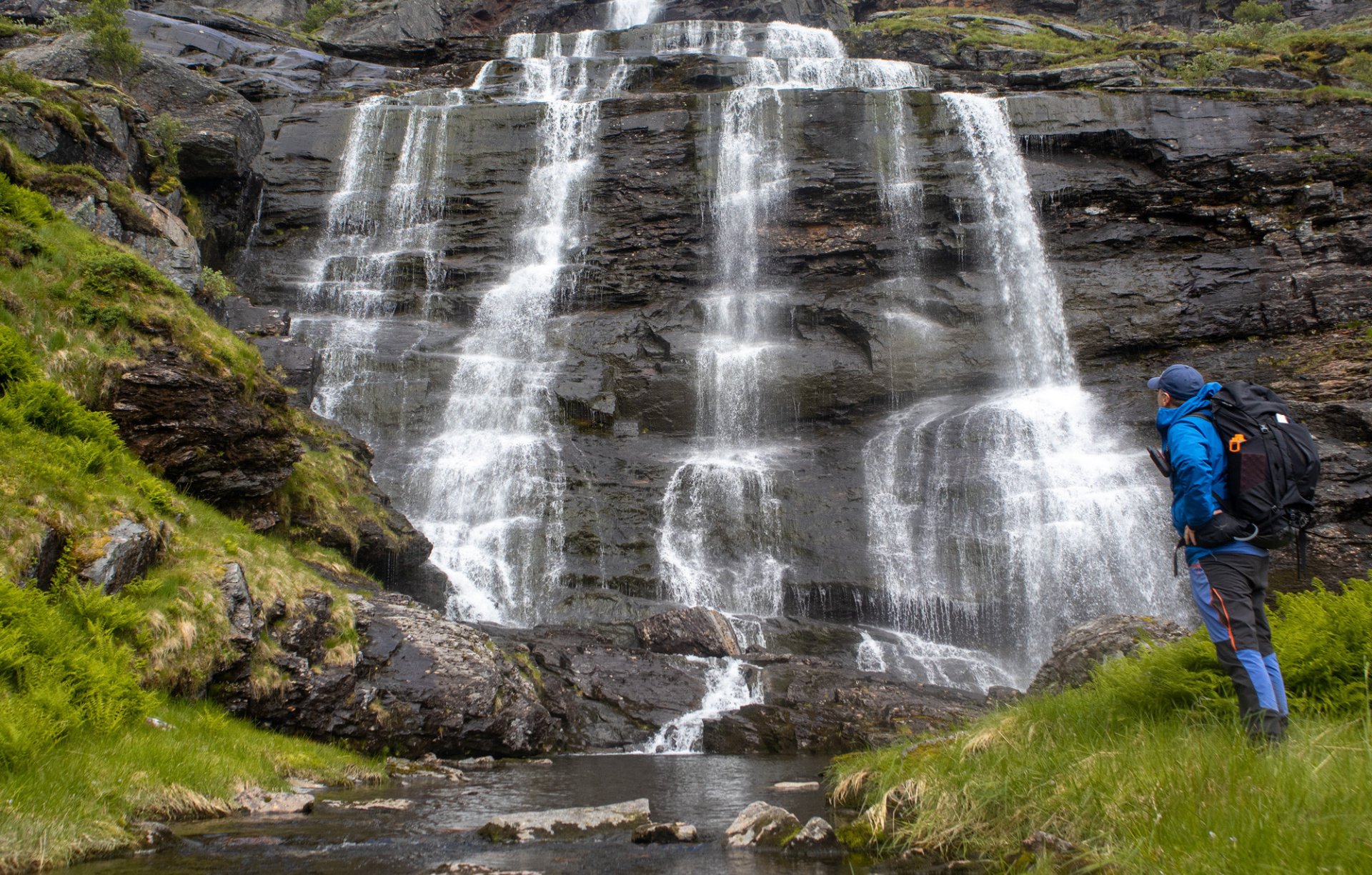
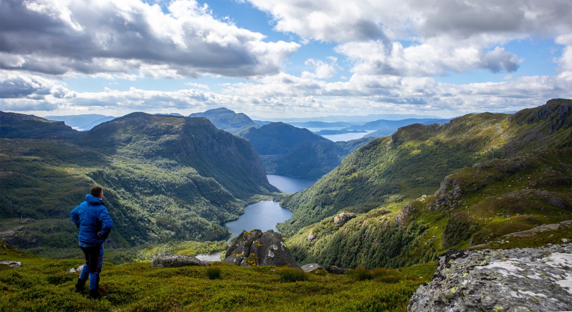
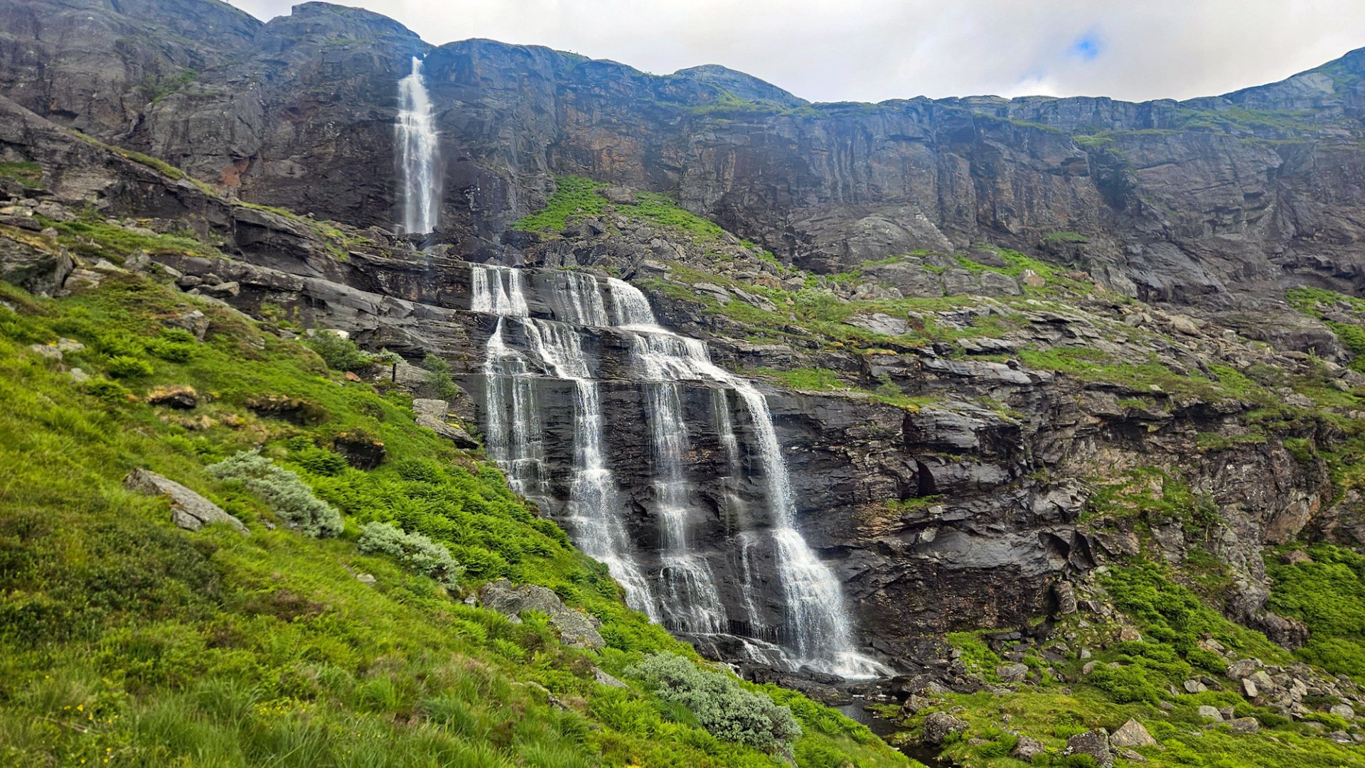
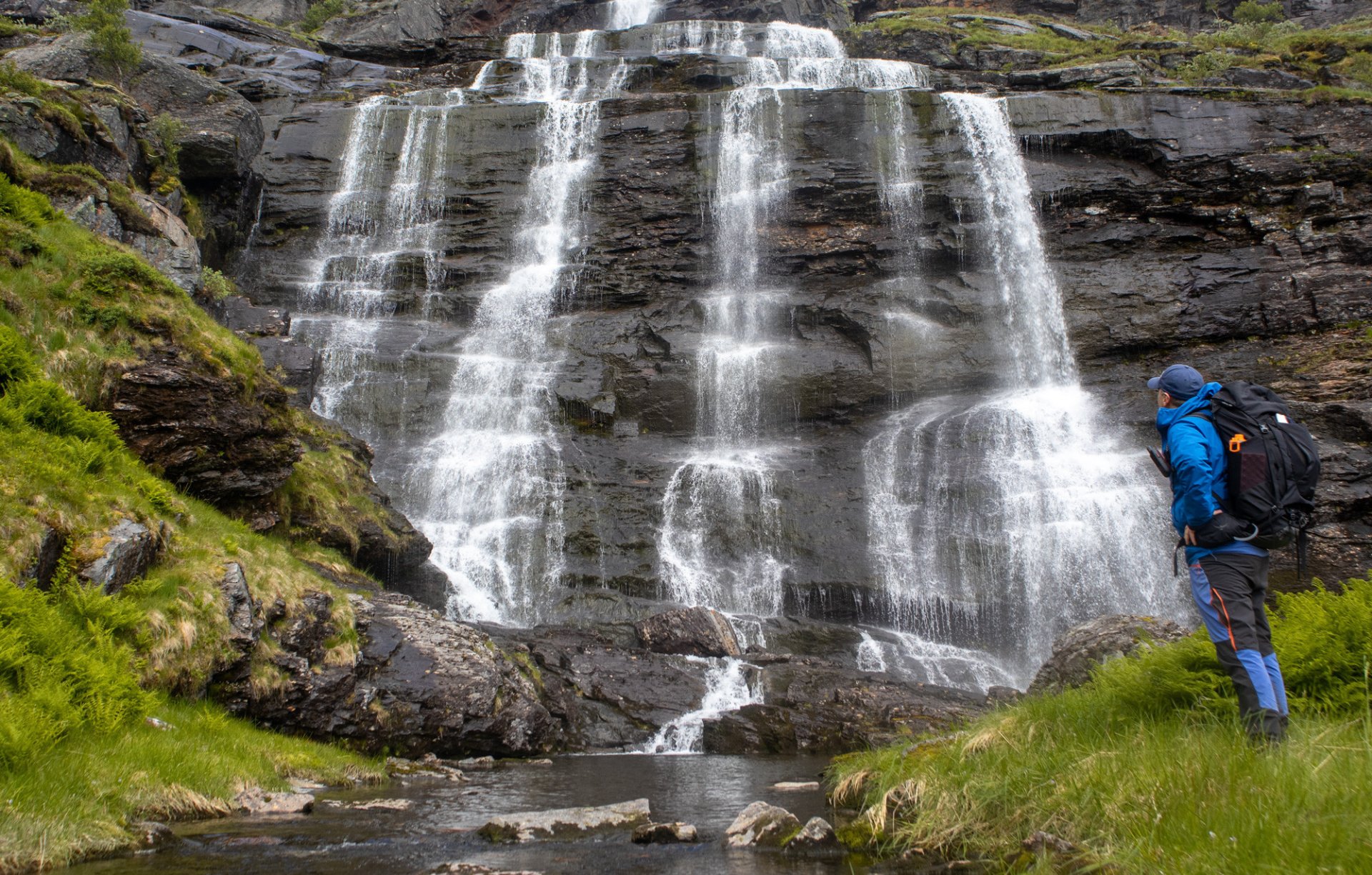
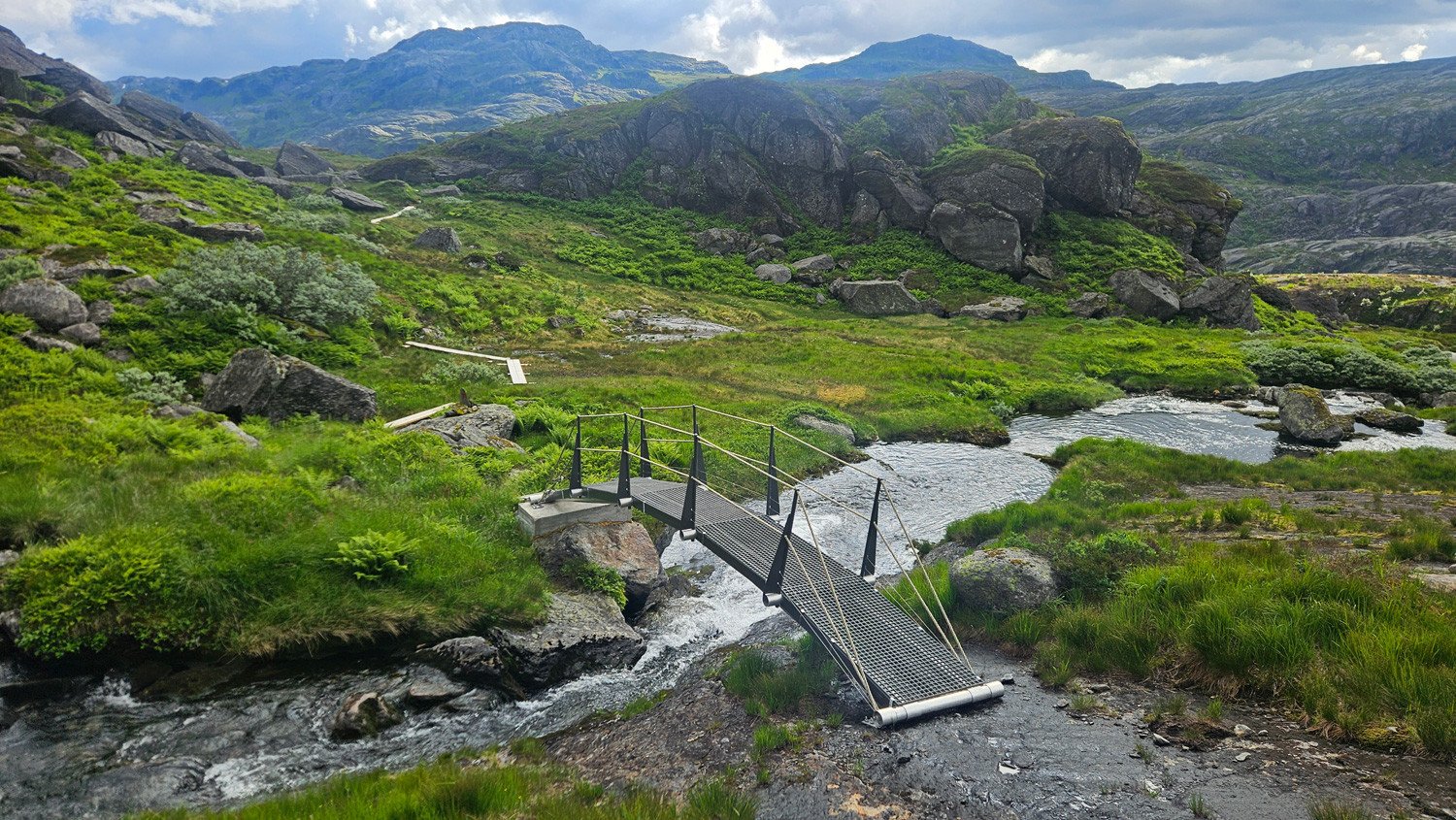
Further down, the views across the valley begin to open up. The trail follows the mountainside to the left of Nordre Hoisnanuten and leads you down towards the spectacular Holsnåna waterfall. The route keeps a safe distance from the waterfall before you cross the river on another bridge.
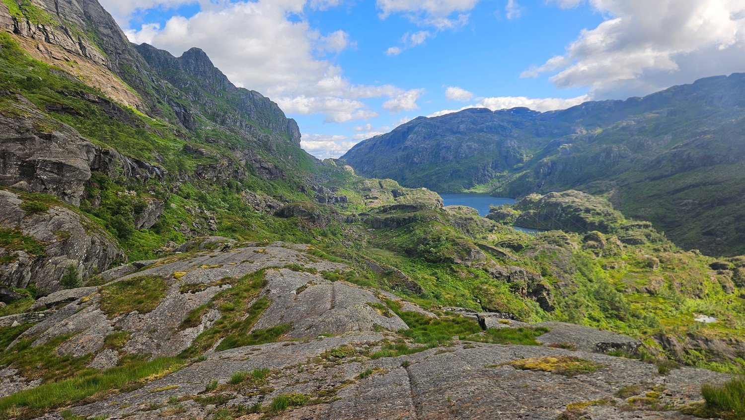
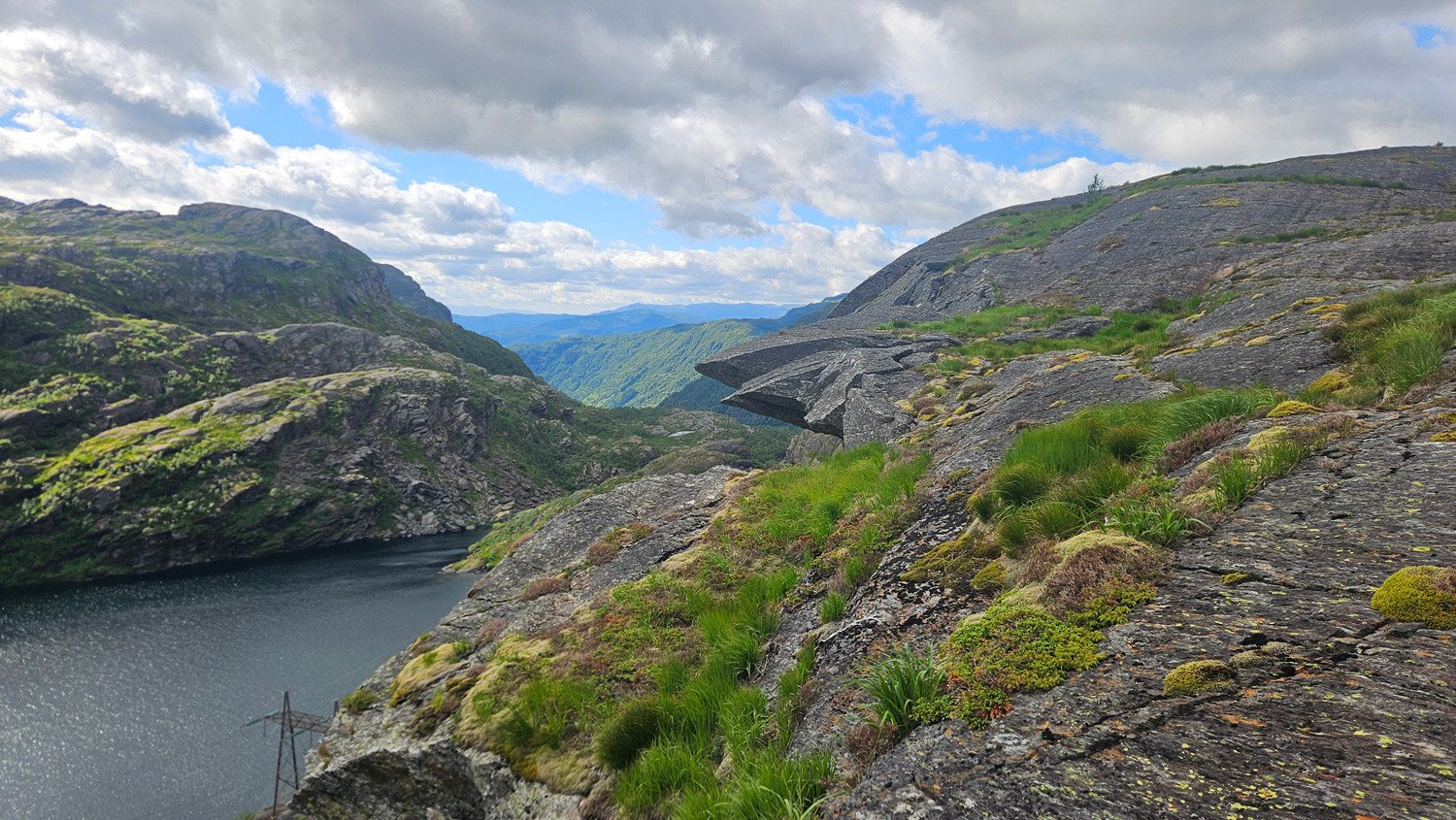
The hike then continues through an interesting landscape filled with a variety of rock formations. At one point, you can walk out onto a rocky outcrop with a steep view down towards Lake Litlavatnet.
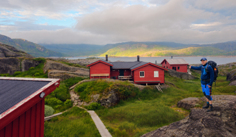
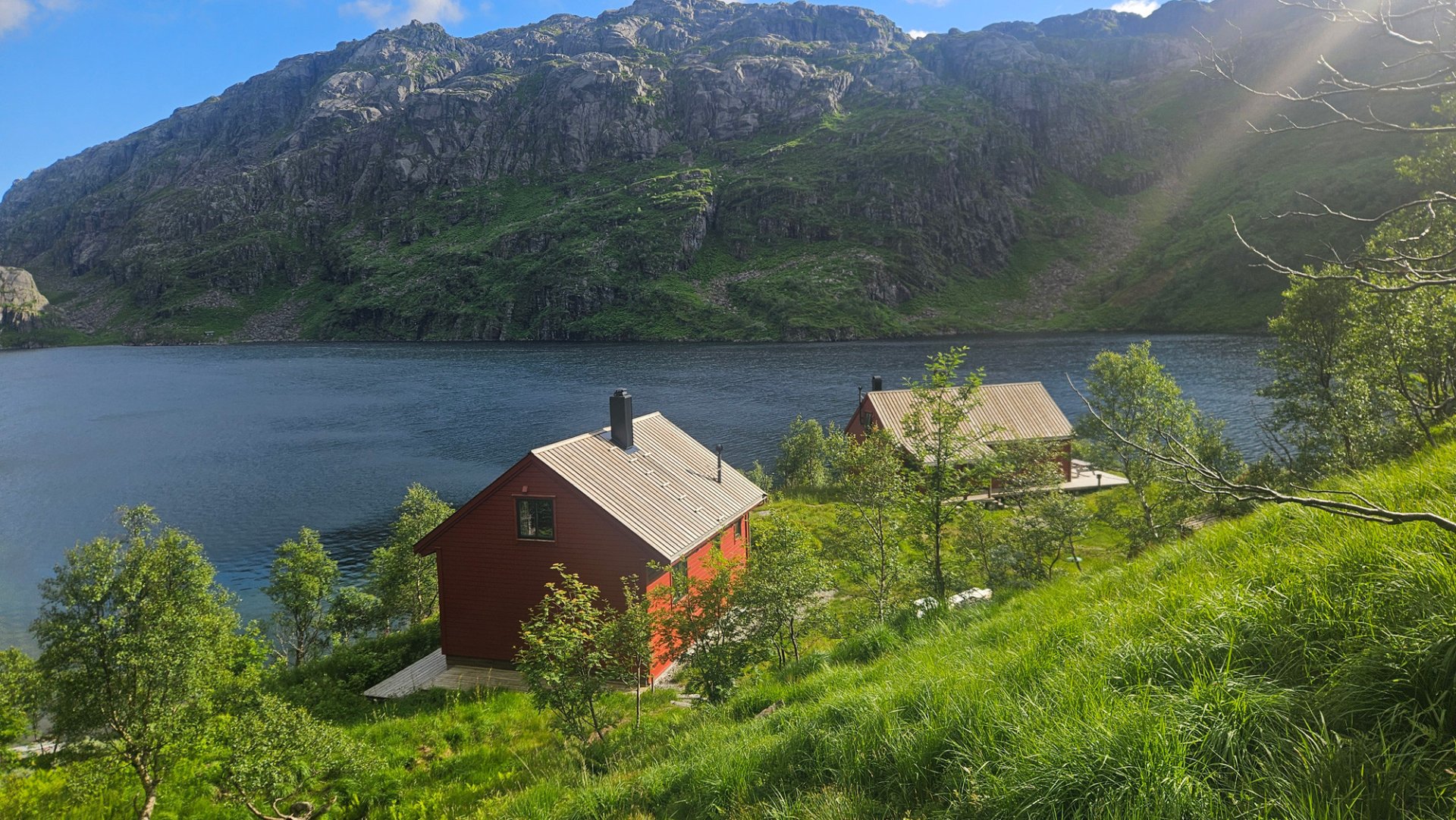
Continue along the trail until you reach another junction. From here, the route crosses the hill before descending towards Storavassbu, beautifully situated beside Lake Storavatnet.
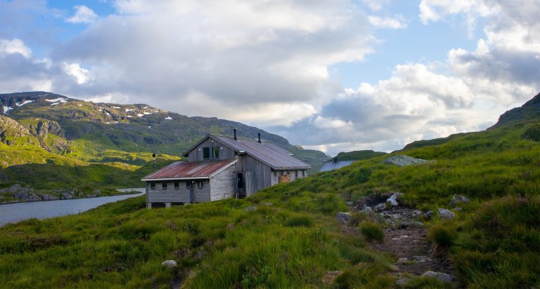
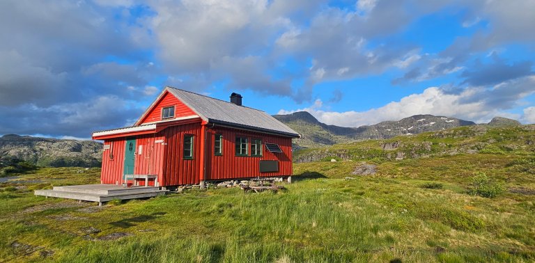
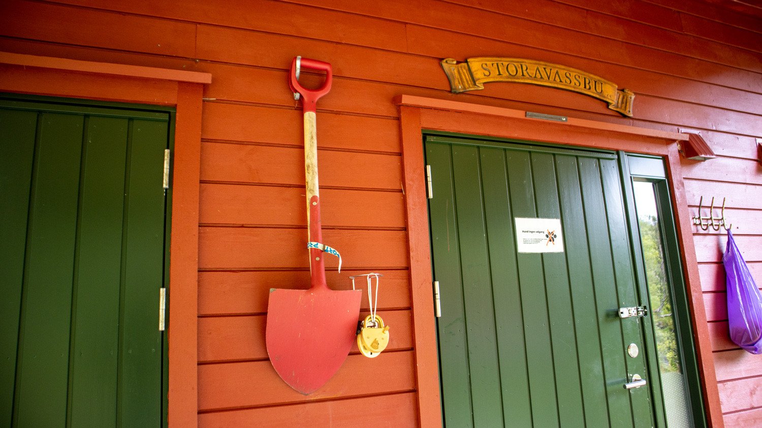
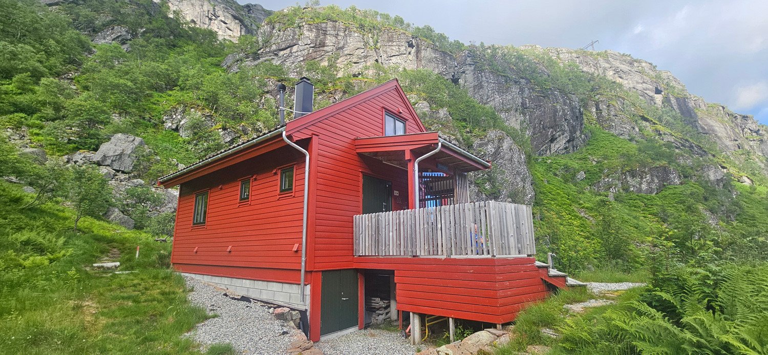
Storavassbu is a self-service DNT mountain cabin with 34 beds and its own food supplies.
All stages of Gullruta in the Etne Mountains
Gullruta runs from Seljestad to Olalia and is divided into six daily stages:
- Seljestad to Simlebu
- Simlebu to Sandvasshytta
- Sandvasshytta to Blomstølen
- Blomstølen to Storavassbu
- Storavassbu to Løkjelsvatnhytta
- Løkjelsvatnhytta to Olalia Fjellstove
Also read the complete travel article: Gullruta in the Etne Mountains – Six Days from Seljestad to Olalia.
Processing elevation data...
-
Adventure type
Mountain Hikes -
Location
Sauda, Rogaland -
Country
Norway -
Starting Location
Display start point on Google Maps
-
Route File (GPX)
-
Information
Distance: Approx. 12.5 km
Duration: Approx. 6–7 hours
Elevation gain: 896 metres
Season: July–October
Difficulty: Challenging