Gullruta in the Etne Mountains – Stage 5: Storavassbu to Løkjelsvatnhytta

This is the fifth stage of the beautiful signature route, “Gullruta through the Etne Mountains.”
-
Getting there
-
Parking
-
Description
From Storavassbu, follow the T-marked trail back the same way you came when arriving at the cabin; see the description of Stage 4. When you reach the trail junction signposted towards Litlavatnet, follow the T-marked trail in that direction.
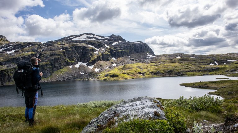
The trail winds in zigzags across exposed rock, through scree and down some steep sections where chains have been installed. Along the way, you get excellent views of Litlavatnet.
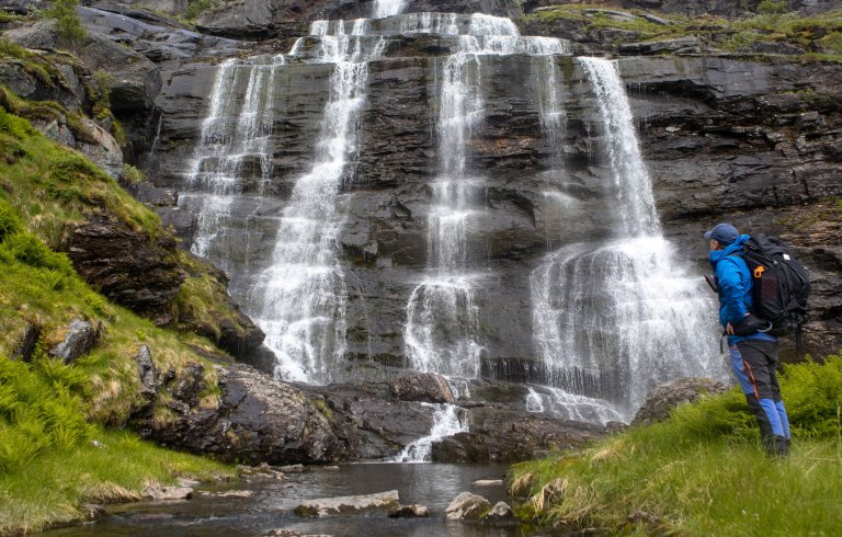
The trail then continues north along the eastern side of the lake. First, you cross a river flowing into Litlavatnet. The current can be strong, especially when the water level is high. Further on, the trail follows a steep mountainside. Sturdy chains have been installed to hold on to, and some sections can feel exposed due to the steep drop towards the lake.
After Litlavatnet, the trail continues north for a while before turning west. You cross a bridge and continue through a soft and marshy section. After crossing another river, a very steep but relatively short ascent follows.
The T-marked trail continues along the western side of Flåtevatnet. Another climb then leads up towards Håheimstølen, where the landscape opens up and takes on a distinct high-mountain character.
The trail continues between Mjåvatnet and Djupavatnet before reaching the Kvamsvegen service road. Cross the road, then climb approximately 150 vertical metres on a steep ascent.
The trail continues west along the mountainside before turning south past Austmannavatnet. The terrain up here is relatively easy to walk. From here, the trail winds down towards the large Løkjelsvatnet.
As you approach the lake, there is still a demanding section left before reaching the cabin. The trail follows the mountainside along the lake through undulating terrain, with many short, steep climbs and descents, before Løkjelsvatnhytta finally comes into view.
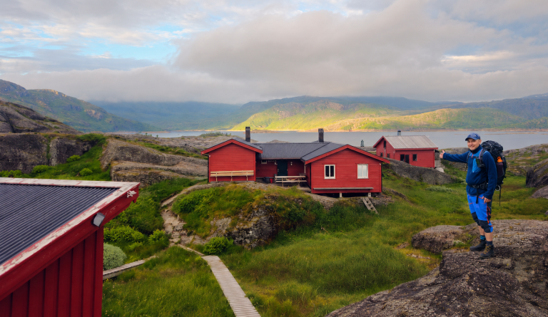
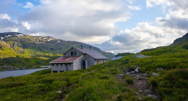
Løkjelsvatnhytta is a self-service DNT mountain cabin with 32 beds and its own food supplies.
All stages of Gullruta in the Etne Mountains
Gullruta runs from Seljestad to Olalia and is divided into six daily stages:
-
Seljestad to Simlebu
-
Simlebu to Sandvasshytta
-
Sandvasshytta to Blomstølen
-
Blomstølen to Storavassbu
-
Storavassbu to Løkjelsvatnhytta
-
Løkjelsvatnhytta to Olalia Fjellstove
Also read the complete travel article: Gullruta in the Etne Mountains – Six Days from Seljestad to Olalia
-



Processing elevation data...
-
Adventure type
Mountain Hikes -
Location
Etne, Vestland -
Country
Norway -
Starting Location
Display start point on Google Maps
-
Route File (GPX)
-
Information
Distance: Approx. 16.5 km
Duration: Approx. 6–8 hours
Elevation gain: 945 metres
Season: July–October
Difficulty: Challenging