The Gullruta Trail in the Etne Mountains – Stage 2: Simlebu to Sandvasshytta

This is the second stage of the beautiful signature route, “Gullruta through the Etne Mountains.”
-
Getting there
-
Parking
-
Description
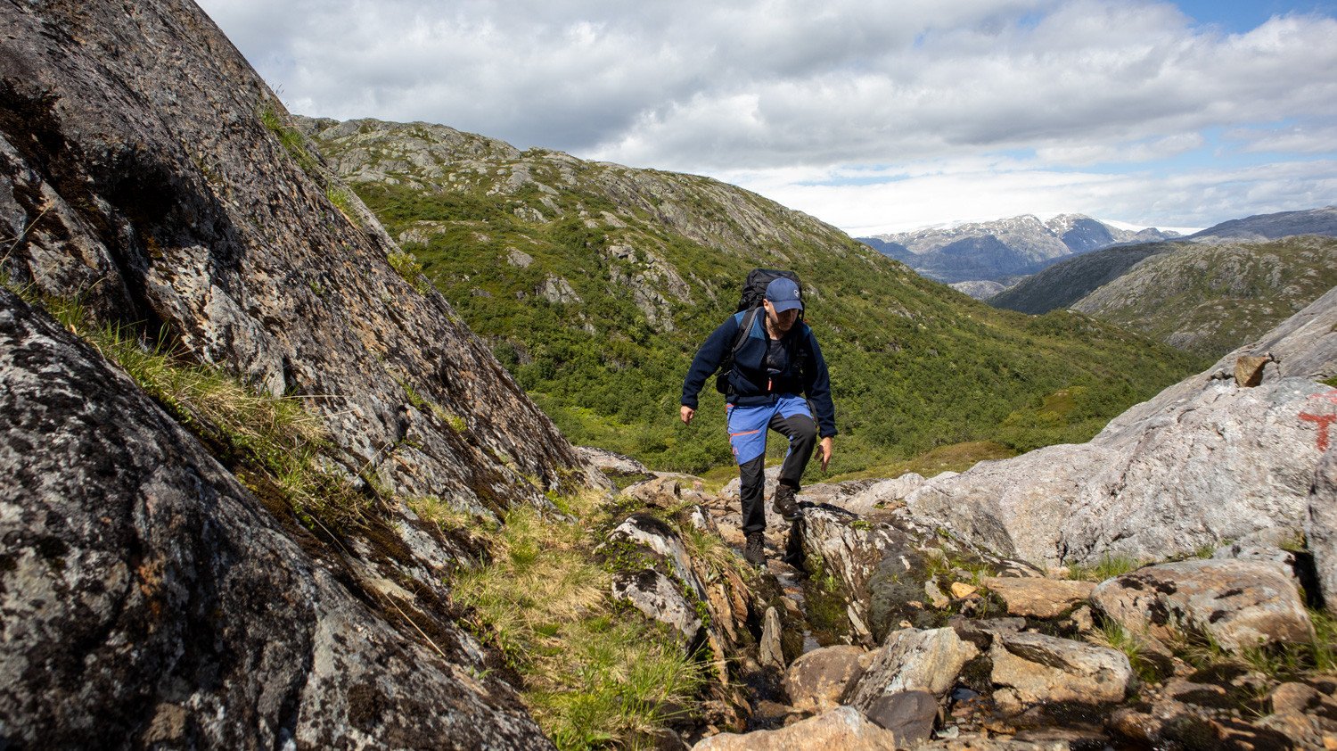
From Simlebu, follow the T-marked trail westwards deeper into the Etne Mountains. The hike mainly passes through open mountain terrain, although some sections lead through denser woodland. The trail is easy to follow, and the route is well marked throughout. During the first five kilometres, you cross two sturdy bridges.
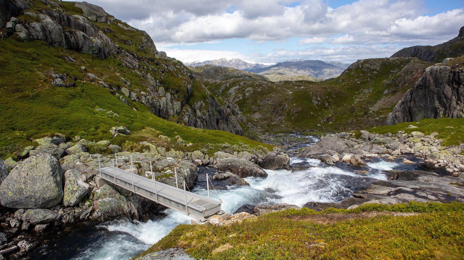
After approximately seven kilometres, you reach a trail junction where the path down towards Langfoss branches off. From here, continue southwest towards Sandvasshytta. Shortly after the junction, you cross another bridge over the river that flows down towards Langfoss. This is an exciting bridge to cross, especially when the water level is high and the current is strong.
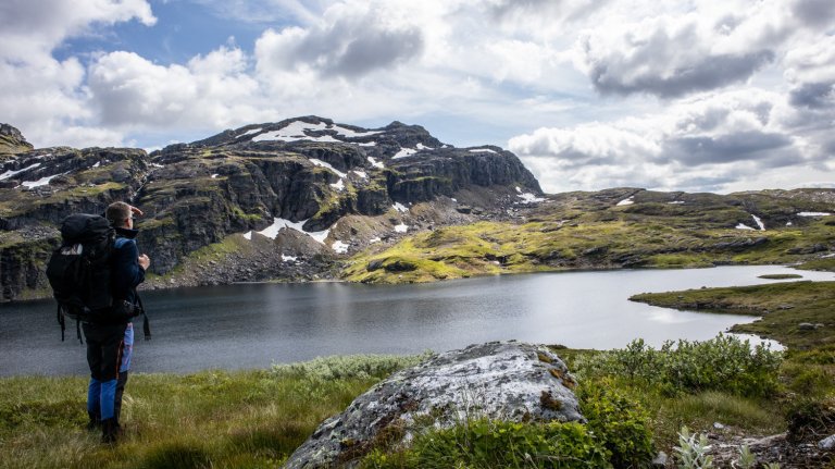
The hike then continues along the western side of Lake Vaulavatnet. This is a long stretch, and at times the lake can seem almost endless. However, the terrain is relatively flat and easy to walk. Be aware that parts of this area can be very wet and marshy.
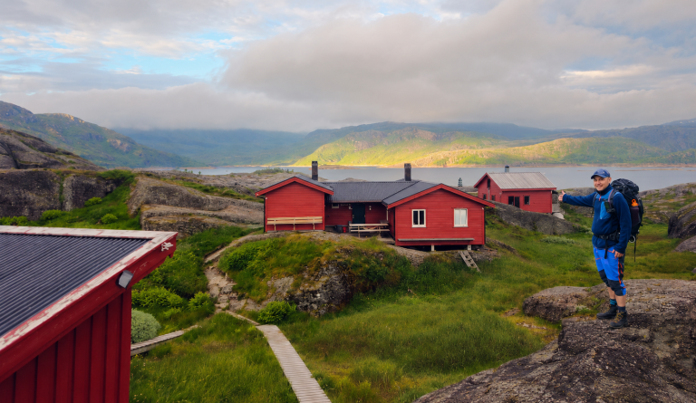
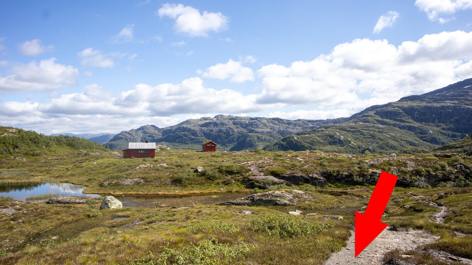
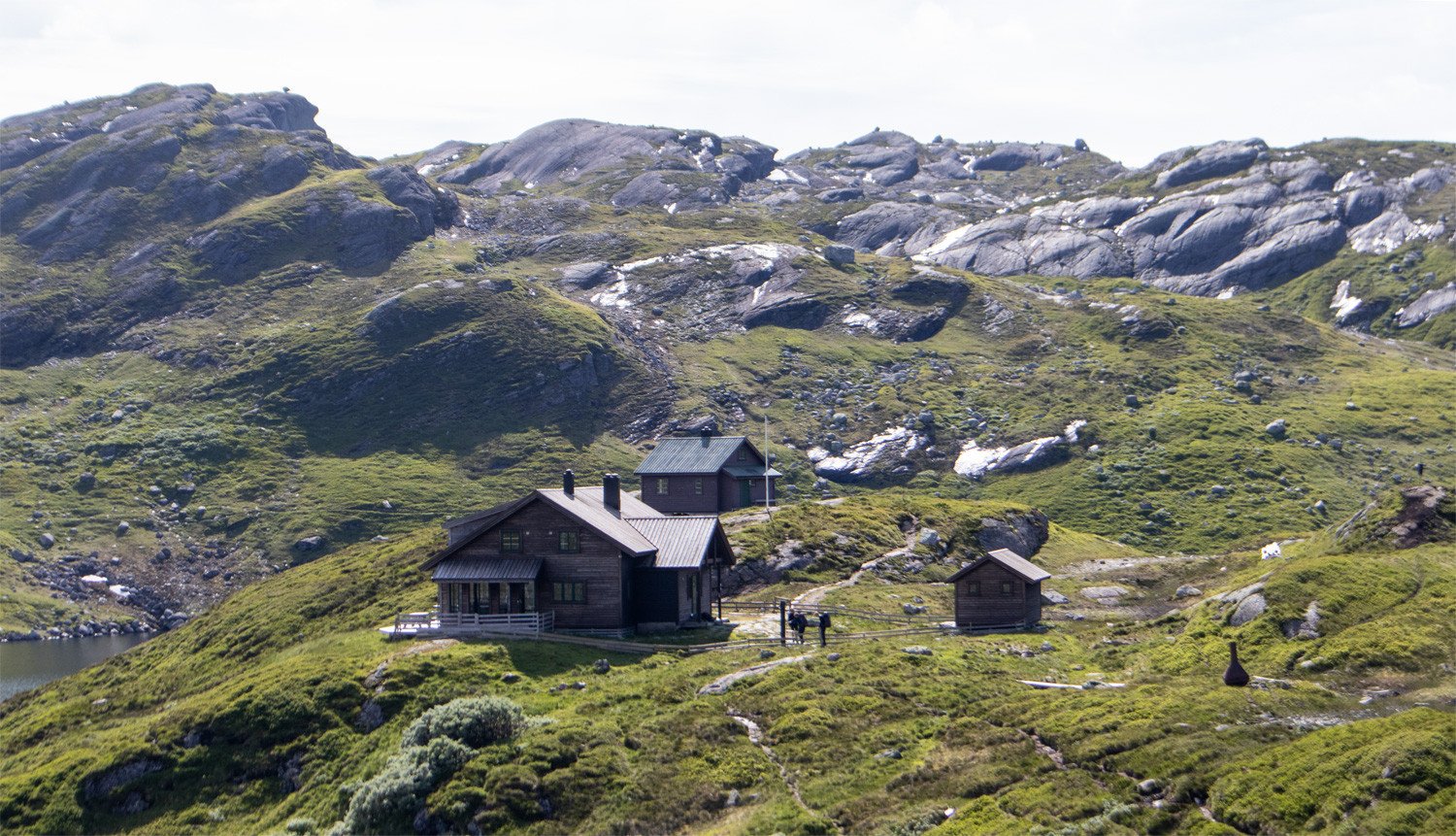
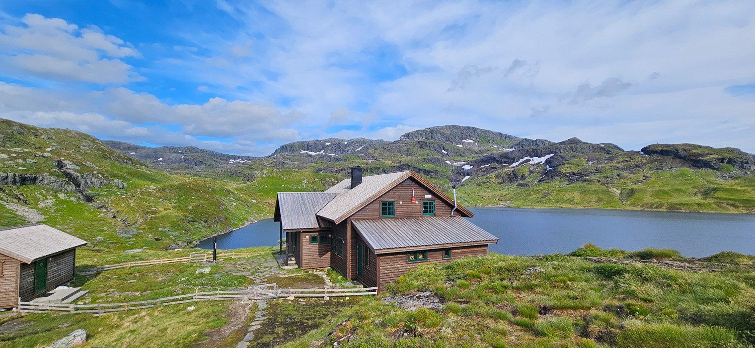
After passing the lake, another ascent of around 100 metres awaits. Once you reach the highest point, the trail descends towards Austmannadalen, offering fantastic mountain scenery. From here, follow the T-marked trail all the way to Sandvasshytta, beautifully situated on the northern shore of Lake Sandvatnet.
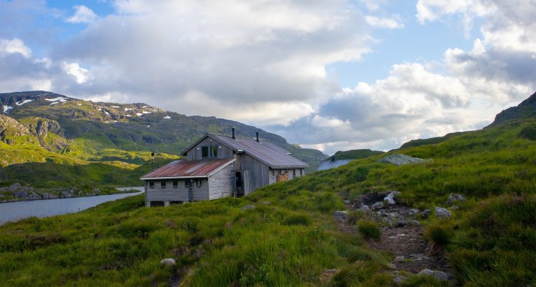
Sandvasshytta is a large DNT mountain cabin with 62 beds. The cabin has its own food supplies, and the views across the lake and surrounding mountains are excellent.
All stages of Gullruta in the Etne Mountains
Gullruta runs from Seljestad to Olalia and is divided into six daily stages:
-
Seljestad to Simlebu
-
Simlebu to Sandvasshytta
-
Sandvasshytta to Blomstølen
-
Blomstølen to Storavassbu
-
Storavassbu to Løkjelsvatnhytta
-
Løkjelsvatnhytta to Olalia Fjellstove
Also read the complete travel article: Gullruta in the Etne Mountains – Six Days from Seljestad to Olalia
-








Processing elevation data...
-
Adventure type
Mountain Hikes -
Location
Etne, Vestland -
Country
Norway -
Starting Location
Display start point on Google Maps
-
Route File (GPX)
-
Information
Distance: Approx. 14.2 km
Duration: 5–6 hours
Elevation gain: 320 metres
Season: July–October