The Vidden Trail in Bergen – Hike from Ulriken to Fløyen
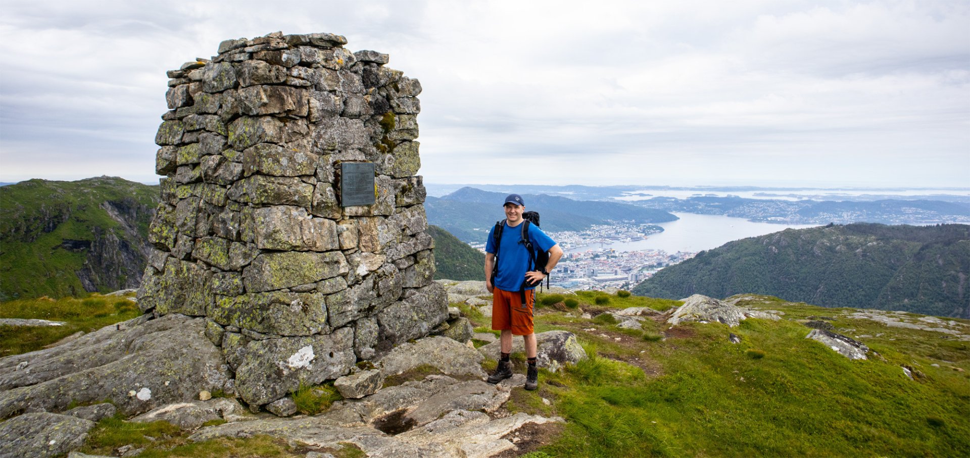
The Vidden hike from Ulriken to Fløyen is one of Bergen’s most classic and popular mountain hikes.
-
Getting there
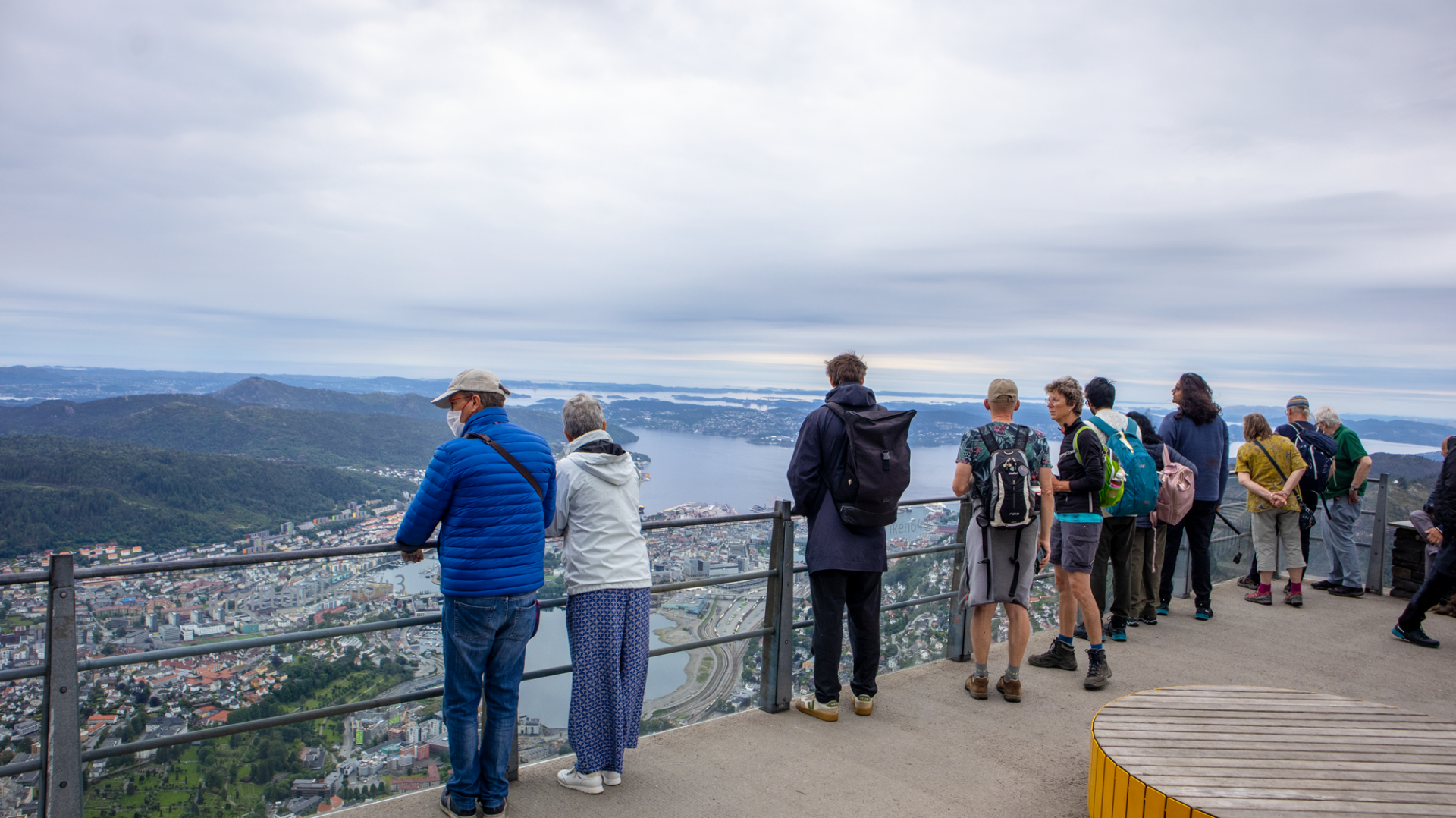
You can easily get to Ulriken by taking dedicated buses from Bergen city centre to the Ulriken Cable Car. From there, the gondola takes you to the top of Ulriken in about five minutes. At the top, you can enjoy the beautiful views of Bergen before starting the hike across Vidden.
Hike Oppstemten for an extra challenge
For those who want a longer and more physically demanding start to the hike, it is also possible to walk up Oppstemten to Ulriken first. This is the famous Sherpa stairway leading up towards Ulriken, with around 1,400 stone steps. -
Parking
Parking at the Ulriken Cable Car is very limited. It is therefore recommended to use public transport, such as the Bergen Light Rail or local buses, or the Ulriken Express buses from Bergen city centre. -
Description
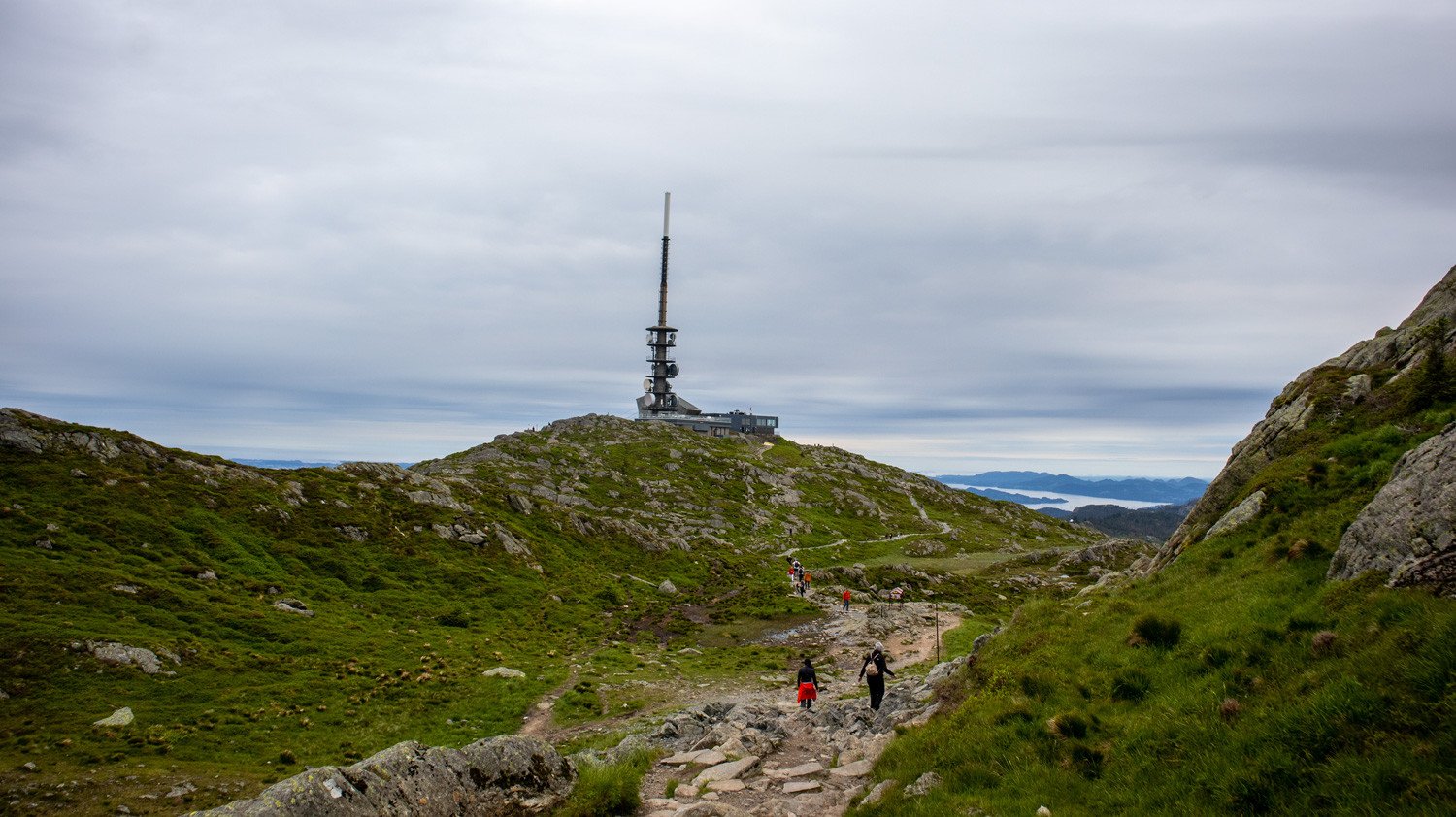
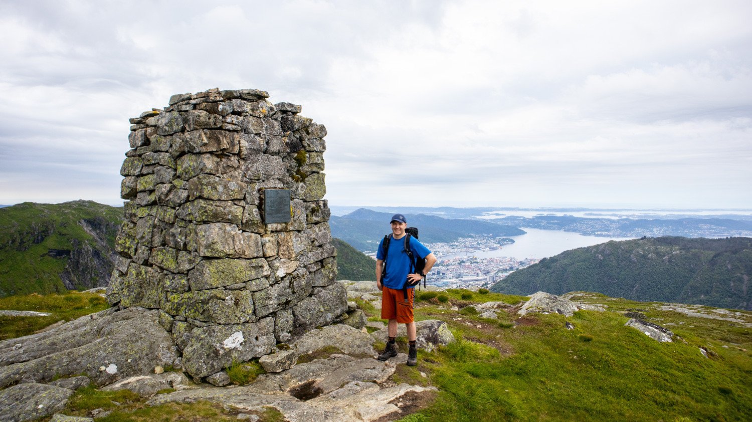
The route starts at Ulriken, Bergen’s highest city mountain at 643 m, and crosses the open mountain plateau of Vidden towards Rundemanen and Fløyen.
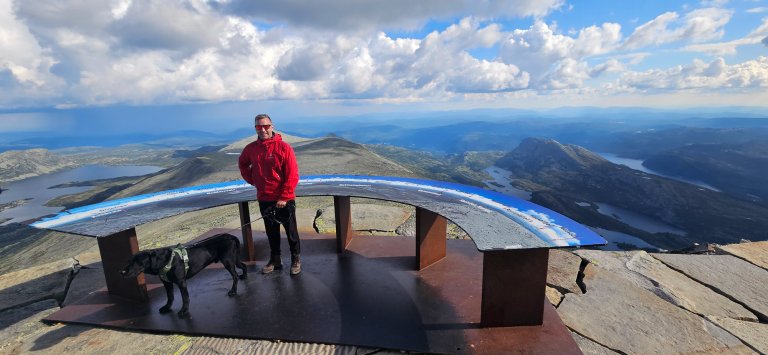
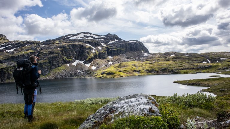
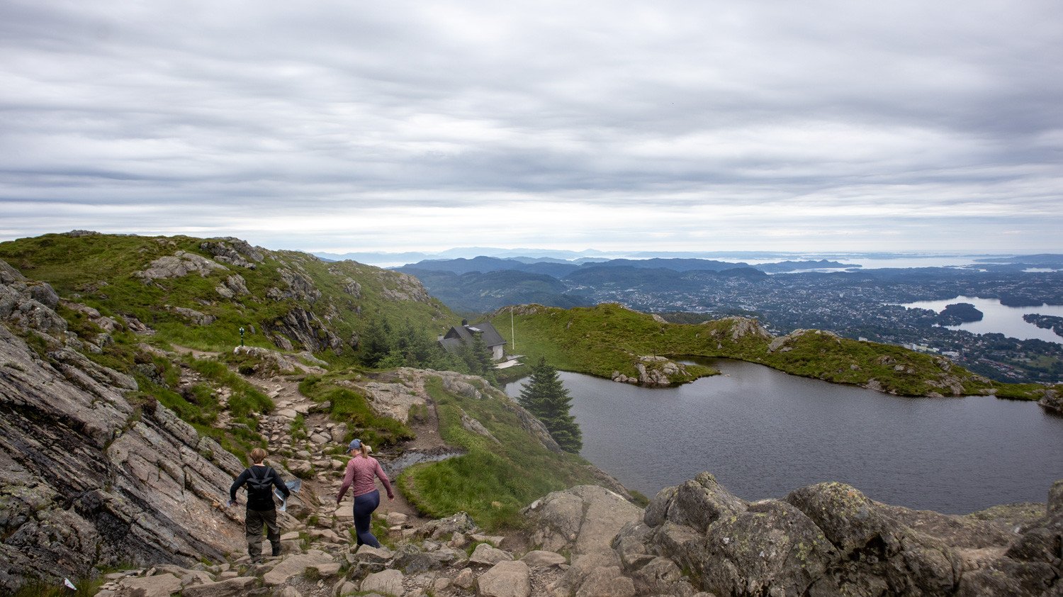
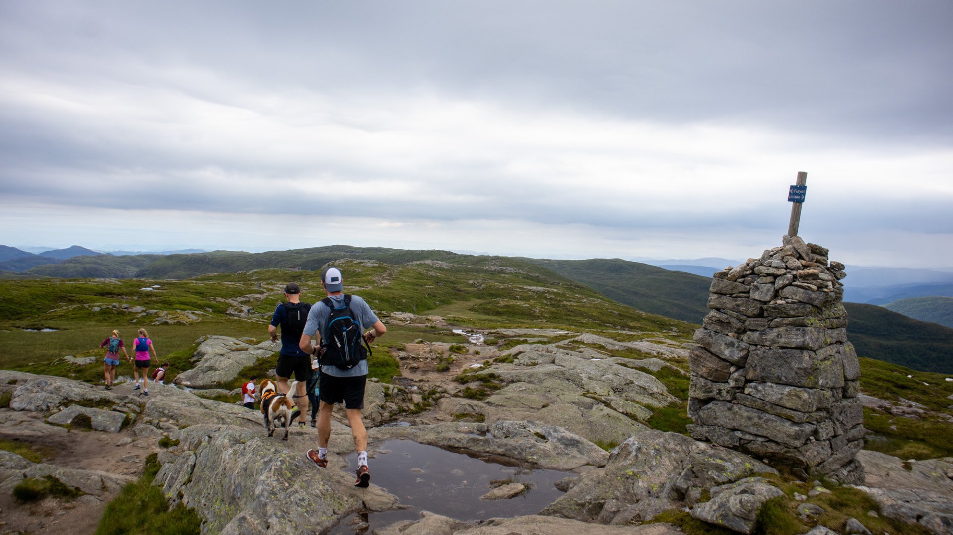
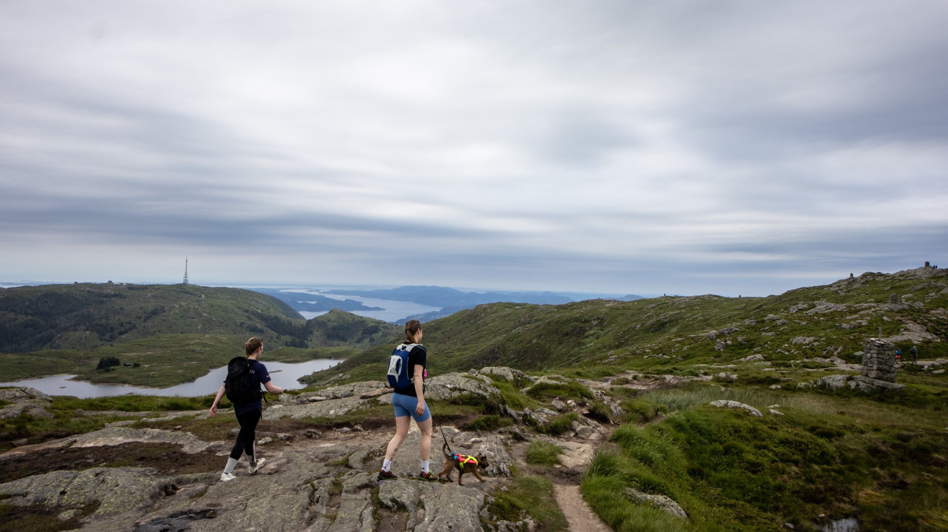
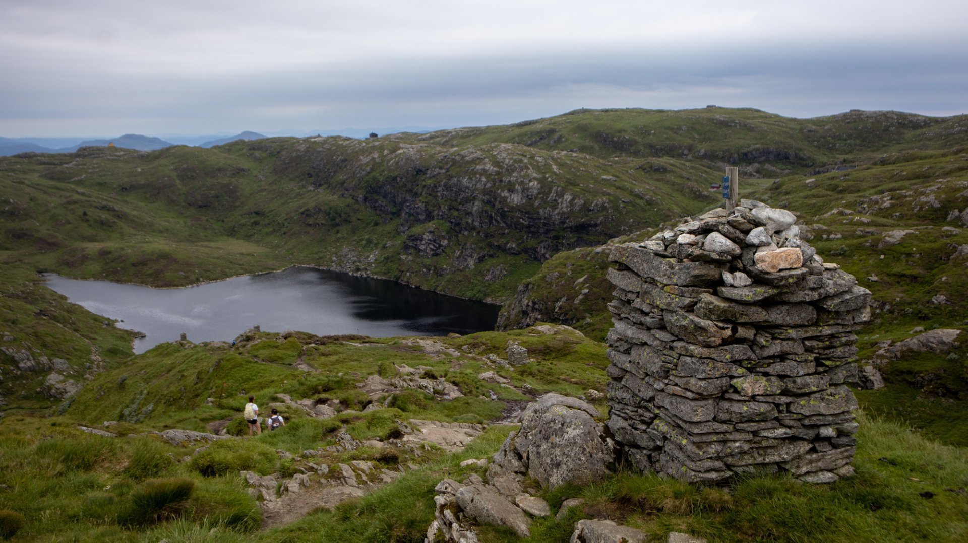
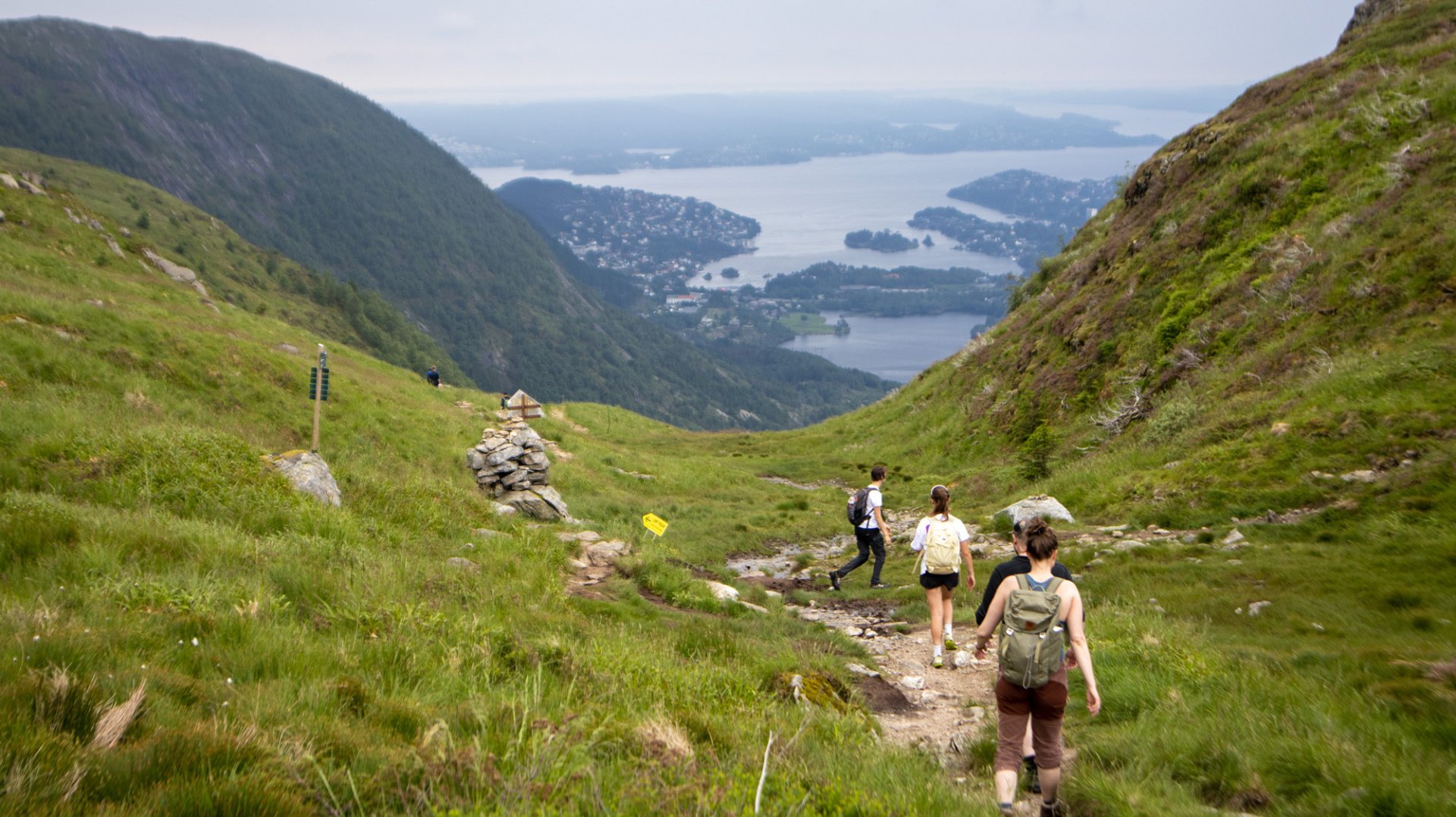
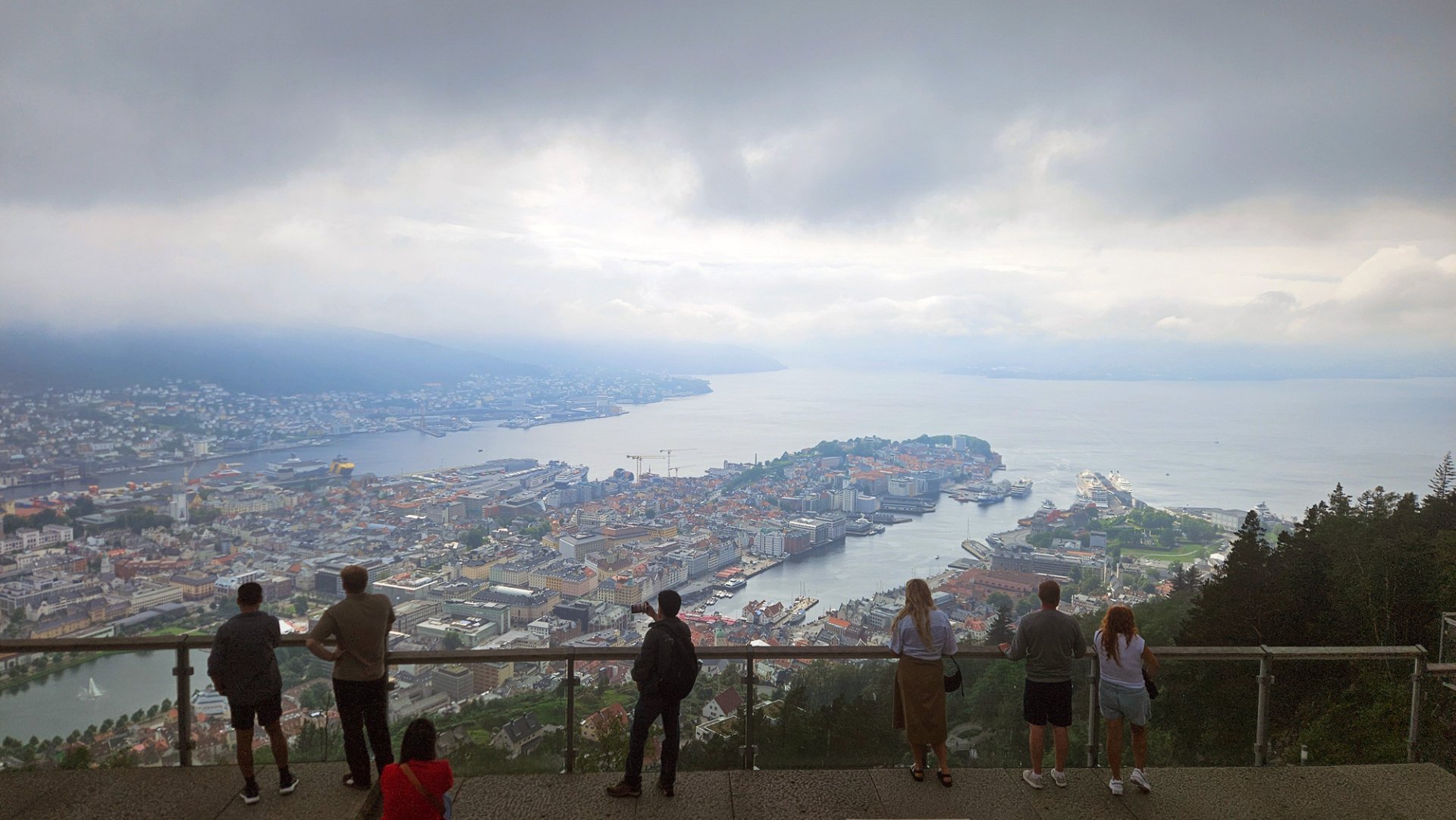
Along the way, you get beautiful views of Bergen, the fjord, the islands west of the city and the surrounding mountains. The trail is well marked, but the terrain is still true mountain terrain with rocks, small climbs, descents and wet sections in places. Good hiking shoes are recommended.
Most hikers start at Ulriken and walk towards Fløyen, giving the route a natural finish close to Bergen city centre. From Fløyen, you can either take the Fløibanen funicular down or walk to the city centre.
The hike is about 14 km and usually takes around 4–5 hours, depending on pace, breaks, weather and trail conditions. Check the weather forecast before starting and bring extra clothing, food, water and a map or GPS.

Processing elevation data...
-
Adventure type
Mountain Hikes -
Location
Bergen, Vestland -
Country
Norway -
Starting Location
-
Route File (GPX)
-
Information
Ulriken: 643 m
Vidden: approx. 600 m most of the way
Rundemanen: 568 m
Fløyen: 320 m
Duration: approx. 4–5 hours
Distance: approx. 14 km
Season: Year-round. Skiing in winter.
Difficulty: Moderate